Area Overview for TW15 3DB
Photos of TW15 3DB
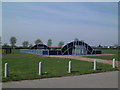
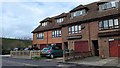
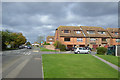
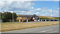
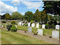
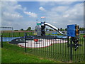
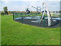
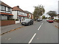
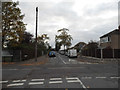
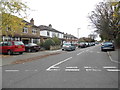
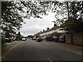
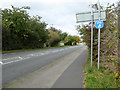
19 photos from this area
Area Information
Key information about the TW15 3DB including its size, population, and administrative classification.
- Area Type
- Postcode
- Area Size
- 8232 m²
- Population
- 2085
- Population Density
- 3001 people/km²
House Prices in TW15 3DB
19
Properties
£339,242
Average Sold Price
£97,000
Lowest Price
£535,000
Highest Price
Showing 19 properties
| Address | Type | Beds | Baths | Last Sale Price | Last Sale Date | |
|---|---|---|---|---|---|---|
| 46 Cumberland Road, Ashford, TW15 3DB | Terraced | 3 | 1 | £420,000 | Oct 2025 | |
| 48 Cumberland Road, Ashford, TW15 3DB | Terraced | 4 | 2 | £505,000 | Dec 2024 | |
| 80 Cumberland Road, Ashford, TW15 3DB | Bungalow | 4 | 1 | £420,000 | Apr 2023 | |
| 66 Cumberland Road, Ashford, TW15 3DB | Bungalow | - | - | £535,000 | Dec 2020 | |
| 62 Cumberland Road, Ashford, TW15 3DB | house | - | - | £495,000 | Aug 2019 | |
| 38 Cumberland Road, Ashford, TW15 3DB | Semi-detached | 3 | 2 | £359,950 | Jun 2014 | |
| 58 Cumberland Road, Ashford, TW15 3DB | Detached | 3 | 1 | £315,000 | Apr 2008 | |
| 68 Cumberland Road, Ashford, TW15 3DB | Detached | - | - | £270,000 | Dec 2006 | |
| 72 Cumberland Road, Ashford, TW15 3DB | house | - | - | £290,000 | May 2003 | |
| 36 Cumberland Road, Ashford, TW15 3DB | Detached | - | - | £249,950 | Apr 1999 |
Page 1 of 2
Energy Efficiency in TW15 3DB
Amenities
Schools
| Rank | School | Type | Entry gender | Ages |
|---|
Explore more schools in this area
Go to Schools tabDemographics
Household Size
Family (3-5 people)
most common
Accommodation Type
Flats
most common
Tenure
58
majority
Ethnic Group
White
most common
Religion
N/A
most common
Household Composition
N/A
most common
Age
47
median
Adults (30-64 years)
most common
Household Deprivation
N/A
with no deprivation
NS-SEC
36
in Lower managerial occupations
Explore more demographic insights in this area
Go to Demographics tabPlanning
Planning Constraints
- Flood RiskPremium
- Ramsar Wetland SitesPremium
- Area of Outstanding Natural BeautyPremium
- Protected Nature ReservePremium
- Protected WoodlandPremium