Area Overview for TW15 1NN
Photos of TW15 1NN
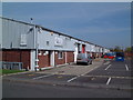
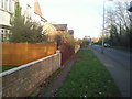
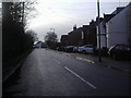
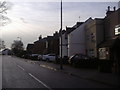
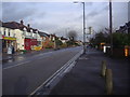
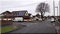
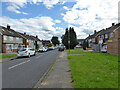
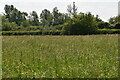
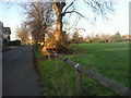
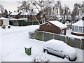
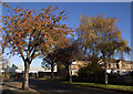
17 photos from this area
Area Information
Key information about the TW15 1NN including its size, population, and administrative classification.
- Area Type
- Postcode
- Area Size
- 5756 m²
- Population
- 1723
- Population Density
- 7036 people/km²
House Prices in TW15 1NN
16
Properties
£221,727
Average Sold Price
£71,000
Lowest Price
£500,000
Highest Price
Showing 16 properties
| Address | Type | Beds | Baths | Last Sale Price | Last Sale Date | |
|---|---|---|---|---|---|---|
| 3B Junction Road, Ashford, TW15 1NN | Flat | - | - | £295,000 | May 2022 | |
| 4B Junction Road, Ashford, TW15 1NN | Flat | - | - | £302,500 | Apr 2021 | |
| 1 Junction Road, Ashford, TW15 1NN | Maisonette | 2 | 1 | £265,000 | Oct 2019 | |
| 5 Junction Road, Ashford, TW15 1NN | Chalet | 5 | 1 | £500,000 | Jul 2014 | |
| 3A Junction Road, Ashford, TW15 1NN | Flat | - | - | £188,000 | Oct 2012 | |
| 3 Junction Road, Ashford, TW15 1NN | Flat | 2 | 1 | £212,000 | Aug 2008 | |
| 4 Junction Road, Ashford, TW15 1NN | Maisonette | - | - | £181,500 | May 2007 | |
| 1A Junction Road, Ashford, TW15 1NN | Maisonette | 2 | 1 | £149,000 | Dec 2003 | |
| 3C Junction Road, Ashford, TW15 1NN | Maisonette | 2 | - | £159,000 | Jan 2003 | |
| 1C Junction Road, Ashford, TW15 1NN | Maisonette | 2 | 1 | £116,000 | Jul 2001 |
Page 1 of 2
Energy Efficiency in TW15 1NN
Amenities
Schools
| Rank | School | Type | Entry gender | Ages |
|---|
Explore more schools in this area
Go to Schools tabDemographics
Household Size
Family (3-5 people)
most common
Accommodation Type
Houses
most common
Tenure
82
majority
Ethnic Group
White
most common
Religion
N/A
most common
Household Composition
N/A
most common
Age
47
median
Adults (30-64 years)
most common
Household Deprivation
N/A
with no deprivation
NS-SEC
34
in Lower managerial occupations
Explore more demographic insights in this area
Go to Demographics tabPlanning
Planning Constraints
- Flood RiskPremium
- Ramsar Wetland SitesPremium
- Area of Outstanding Natural BeautyPremium
- Protected Nature ReservePremium
- Protected WoodlandPremium