Area Overview for TW15 1AE
Photos of TW15 1AE

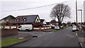
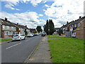
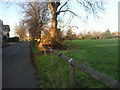
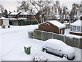
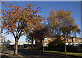
17 photos from this area
Area Information
Key information about the TW15 1AE including its size, population, and administrative classification.
- Area Type
- Postcode
- Area Size
- 1.9 hectares
- Population
- 1503
- Population Density
- 5745 people/km²
House Prices in TW15 1AE
22
Properties
£304,596
Average Sold Price
£110,000
Lowest Price
£575,000
Highest Price
Showing 22 properties
| Address | Type | Beds | Baths | Last Sale Price | Last Sale Date | |
|---|---|---|---|---|---|---|
| 23 Chattern Road, Ashford, TW15 1AE | house | 4 | 1 | £575,000 | Sep 2022 | |
| 21 Chattern Road, Ashford, TW15 1AE | Retail | 2 | 2 | £440,000 | Feb 2022 | |
| 25 Chattern Road, Ashford, TW15 1AE | Terraced | 3 | 1 | £500,000 | Apr 2021 | |
| 43 Chattern Road, Ashford, TW15 1AE | Detached | 4 | - | £437,500 | Aug 2015 | |
| 11A Chattern Road, Ashford, TW15 1AE | Semi-detached | 3 | 1 | £399,950 | Jul 2015 | |
| 1 Chattern Road, Ashford, TW15 1AE | Semi-detached | 2 | 1 | £268,000 | Mar 2014 | |
| 41 Chattern Road, Ashford, TW15 1AE | Bungalow | 2 | - | £295,000 | Dec 2011 | |
| 17 Chattern Road, Ashford, TW15 1AE | Bungalow | - | - | £245,000 | Jun 2010 | |
| 35 Chattern Road, Ashford, TW15 1AE | Bungalow | - | - | £239,000 | Apr 2010 | |
| 9 Chattern Road, Ashford, TW15 1AE | Semi-detached | - | - | £245,000 | Feb 2007 |
Page 1 of 3
Energy Efficiency in TW15 1AE
Amenities
Schools
| Rank | School | Type | Entry gender | Ages |
|---|
Explore more schools in this area
Go to Schools tabDemographics
Household Size
Family (3-5 people)
most common
Accommodation Type
Houses
most common
Tenure
84
majority
Ethnic Group
White
most common
Religion
N/A
most common
Household Composition
N/A
most common
Age
47
median
Adults (30-64 years)
most common
Household Deprivation
N/A
with no deprivation
NS-SEC
35
in Lower managerial occupations
Explore more demographic insights in this area
Go to Demographics tabPlanning
Planning Constraints
- Flood RiskPremium
- Ramsar Wetland SitesPremium
- Area of Outstanding Natural BeautyPremium
- Protected Nature ReservePremium
- Protected WoodlandPremium