Area Overview for TN6 3SP
Photos of TN6 3SP
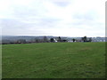
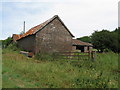
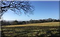
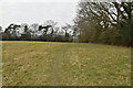
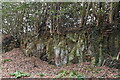
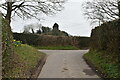
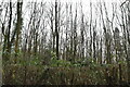
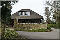
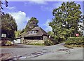
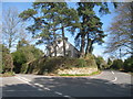
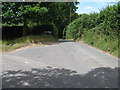
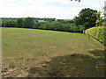
32 photos from this area
Area Information
Key information about the TN6 3SP including its size, population, and administrative classification.
- Area Type
- Postcode
- Area Size
- 37.6 hectares
- Population
- 1607
- Population Density
- 533 people/km²
House Prices in TN6 3SP
26
Properties
£850,455
Average Sold Price
£220,000
Lowest Price
£1,500,001
Highest Price
Showing 26 properties
| Address | Type | Beds | Baths | Last Sale Price | Last Sale Date | |
|---|---|---|---|---|---|---|
| Shortacres Cottage, High Broom Lane, Crowborough, TN6 3SP | house | 2 | 1 | £400,000 | Mar 2023 | |
| Burley, High Broom Lane, Crowborough, TN6 3SP | house | - | - | £1,250,000 | Nov 2021 | |
| Roughwood, High Broom Lane, Crowborough, TN6 3SP | house | - | - | £1,225,000 | Oct 2021 | |
| Magpie Holt, High Broom Lane, Crowborough, TN6 3SP | Detached | 5 | 5 | £1,500,001 | Oct 2021 | |
| Garden Cottage, High Broom Lane, Crowborough, TN6 3SP | Semi-detached | 3 | 1 | £545,000 | Apr 2014 | |
| Four Seasons, High Broom Lane, Crowborough, TN6 3SP | house | 6 | - | £960,000 | Apr 2012 | |
| Rynn House, High Broom Lane, Crowborough, TN6 3SP | Detached | 5 | 5 | £830,000 | Jul 2011 | |
| Chalhurst, High Broom Lane, Crowborough, TN6 3SP | Detached | - | - | £625,000 | May 2010 | |
| Ruxley, High Broom Lane, Crowborough, TN6 3SP | Detached | 4 | 4 | £1,175,000 | May 2010 | |
| Liongate, High Broom Lane, Crowborough, TN6 3SP | Detached | 5 | 4 | £625,000 | Nov 1998 |
Page 1 of 3
Energy Efficiency in TN6 3SP
Amenities
Schools
| Rank | School | Type | Entry gender | Ages |
|---|
Explore more schools in this area
Go to Schools tabDemographics
Household Size
Two person
most common
Accommodation Type
Houses
most common
Tenure
91
majority
Ethnic Group
White
most common
Religion
N/A
most common
Household Composition
N/A
most common
Age
47
median
Adults (30-64 years)
most common
Household Deprivation
N/A
with no deprivation
NS-SEC
47
in Lower managerial occupations
Explore more demographic insights in this area
Go to Demographics tabPlanning
Planning Constraints
- Flood RiskPremium
- Ramsar Wetland SitesPremium
- Area of Outstanding Natural BeautyPremium
- Protected Nature ReservePremium
- Protected WoodlandPremium