Area Overview for TN5 7PL
Photos of TN5 7PL
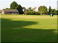
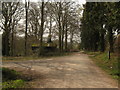

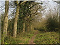
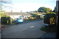
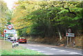

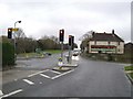
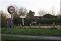
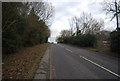


100 photos from this area
Area Information
Key information about the TN5 7PL including its size, population, and administrative classification.
- Area Type
- Postcode
- Area Size
- 16.9 hectares
- Population
- 1406
- Population Density
- 55 people/km²
House Prices in TN5 7PL
12
Properties
£420,000
Average Sold Price
£320,000
Lowest Price
£600,000
Highest Price
Showing 12 properties
| Address | Type | Beds | Baths | Last Sale Price | Last Sale Date | |
|---|---|---|---|---|---|---|
| Four Oaks, London Road, Flimwell, Wadhurst, TN5 7PL | Bungalow | - | - | £360,000 | Mar 2025 | |
| Boundary Cottage, London Road, Flimwell, TN5 7PL | house | 3 | - | £600,000 | Nov 2016 | |
| The Meadows, London Road, Flimwell, TN5 7PL | Bungalow | 4 | - | £400,000 | Jan 2013 | |
| Holly Bank, London Road, Flimwell, Wadhurst, TN5 7PL | Bungalow | - | - | £320,000 | Jan 2012 | |
| Caravan, Rosaem House, London Road, Flimwell, TN5 7PL | Detached | 6 | 6 | - | - | |
| 1, Haere Mai, London Road Cotts, London Road, Flimwell, TN5 7PL | Semi-detached | 2 | 1 | - | - | |
| Lodge Gates, London Road, Flimwell, TN5 7PL | Detached | - | - | - | - | |
| Little Holly Bank, London Road, Flimwell, Wadhurst, TN5 7PL | Mobile Home | - | - | - | - | |
| The Bungalow, London Road, Flimwell, TN5 7PL | Detached | - | - | - | - | |
| The White House, London Road, Flimwell, Wadhurst, TN5 7PL | Detached | - | - | - | - |
Page 1 of 2
Energy Efficiency in TN5 7PL
Amenities
Schools
| Rank | School | Type | Entry gender | Ages |
|---|
Explore more schools in this area
Go to Schools tabDemographics
Household Size
Family (3-5 people)
most common
Accommodation Type
Houses
most common
Tenure
74
majority
Ethnic Group
White
most common
Religion
N/A
most common
Household Composition
N/A
most common
Age
47
median
Adults (30-64 years)
most common
Household Deprivation
N/A
with no deprivation
NS-SEC
47
in Lower managerial occupations
Explore more demographic insights in this area
Go to Demographics tabPlanning
Planning Constraints
- Flood RiskPremium
- Ramsar Wetland SitesPremium
- Area of Outstanding Natural BeautyPremium
- Protected Nature ReservePremium
- Protected WoodlandPremium