Area Overview for TN5 7EE
Photos of TN5 7EE
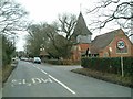
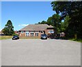
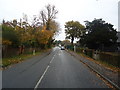
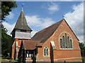
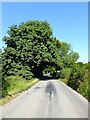
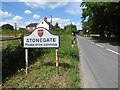
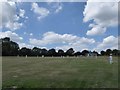
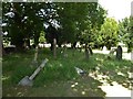
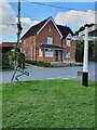
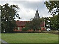
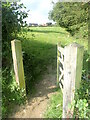
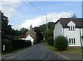
91 photos from this area
Area Information
Key information about the TN5 7EE including its size, population, and administrative classification.
- Area Type
- Postcode
- Area Size
- 6196 m²
- Population
- 1490
- Population Density
- 56 people/km²
House Prices in TN5 7EE
8
Properties
£302,575
Average Sold Price
£165,000
Lowest Price
£551,674
Highest Price
Showing 8 properties
| Address | Type | Beds | Baths | Last Sale Price | Last Sale Date | |
|---|---|---|---|---|---|---|
| Rose Cottage, Lymden Lane, Stonegate, TN5 7EE | house | - | - | £551,674 | Nov 2021 | |
| Forge House, Lymden Lane, Stonegate, TN5 7EE | Semi-detached | 2 | - | £384,200 | Dec 2013 | |
| Wayside, 2 Lymden Lane, Stonegate, TN5 7EE | Semi-detached | 2 | 1 | £179,000 | Apr 2002 | |
| Maple Leaf, Lymden Lane, Stonegate, TN5 7EE | Detached | - | - | £233,000 | Aug 1999 | |
| Nuthatch Cottage, 4 Lymden Lane, Stonegate, TN5 7EE | Detached | 4 | - | £165,000 | Jul 1998 | |
| Forge Cottage, 1 Lymden Lane, Stonegate, TN5 7EE | Detached | 2 | 2 | - | - | |
| Rosebank, Lymden Lane, Stonegate, TN5 7EE | Semi-detached | 2 | 2 | - | - | |
| Dunlavin, Lymden Lane, Stonegate, TN5 7EE | Detached | - | - | - | - |
Energy Efficiency in TN5 7EE
Amenities
Schools
| Rank | School | Type | Entry gender | Ages |
|---|
Explore more schools in this area
Go to Schools tabDemographics
Household Size
Two person
most common
Accommodation Type
Houses
most common
Tenure
82
majority
Ethnic Group
White
most common
Religion
N/A
most common
Household Composition
N/A
most common
Age
47
median
Adults (30-64 years)
most common
Household Deprivation
N/A
with no deprivation
NS-SEC
44
in Lower managerial occupations
Explore more demographic insights in this area
Go to Demographics tabPlanning
Planning Constraints
- Flood RiskPremium
- Ramsar Wetland SitesPremium
- Area of Outstanding Natural BeautyPremium
- Protected Nature ReservePremium
- Protected WoodlandPremium