Area Overview for TN4 8TF
Photos of TN4 8TF
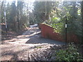
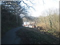
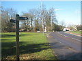
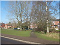
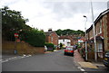
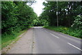
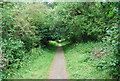
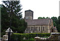
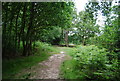
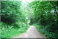
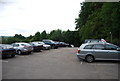
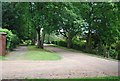
100 photos from this area
Area Information
Key information about the TN4 8TF including its size, population, and administrative classification.
- Area Type
- Postcode
- Area Size
- 8301 m²
- Population
- 1896
- Population Density
- 4014 people/km²
House Prices in TN4 8TF
14
Properties
£386,150
Average Sold Price
£115,000
Lowest Price
£820,000
Highest Price
Showing 14 properties
| Address | Type | Beds | Baths | Last Sale Price | Last Sale Date | |
|---|---|---|---|---|---|---|
| 34 Lower Green Road, Royal Tunbridge Wells, TN4 8TF | house | - | - | £365,000 | Oct 2024 | |
| 27 Lower Green Road, Royal Tunbridge Wells, TN4 8TF | house | - | - | £650,000 | Apr 2023 | |
| 44 Lower Green Road, Royal Tunbridge Wells, TN4 8TF | house | - | - | £535,000 | Feb 2020 | |
| 32 Lower Green Road, Royal Tunbridge Wells, TN4 8TF | Semi-detached | 2 | 1 | £250,000 | Sep 2014 | |
| 19 Lower Green Road, Royal Tunbridge Wells, TN4 8TF | house | - | - | £820,000 | Jan 2010 | |
| 25 Lower Green Road, Royal Tunbridge Wells, TN4 8TF | Detached | - | - | £335,000 | Mar 2008 | |
| 40 Lower Green Road, Royal Tunbridge Wells, TN4 8TF | house | - | - | £220,000 | May 2007 | |
| 46 Lower Green Road, Royal Tunbridge Wells, TN4 8TF | Detached | - | - | £290,000 | Aug 2005 | |
| Garden Court, 21 Lower Green Road, Royal Tunbridge Wells, TN4 8TF | house | 4 | - | £527,550 | Feb 2001 | |
| Marbrooks, 23 Lower Green Road, Royal Tunbridge Wells, TN4 8TF | Bungalow | - | - | £140,100 | Sep 1997 |
Page 1 of 2
Energy Efficiency in TN4 8TF
Amenities
Schools
| Rank | School | Type | Entry gender | Ages |
|---|
Explore more schools in this area
Go to Schools tabDemographics
Household Size
One person
most common
Accommodation Type
Houses
most common
Tenure
56
majority
Ethnic Group
White
most common
Religion
N/A
most common
Household Composition
N/A
most common
Age
47
median
Adults (30-64 years)
most common
Household Deprivation
N/A
with no deprivation
NS-SEC
34
in Lower managerial occupations
Explore more demographic insights in this area
Go to Demographics tabPlanning
Planning Constraints
- Flood RiskPremium
- Ramsar Wetland SitesPremium
- Area of Outstanding Natural BeautyPremium
- Protected Nature ReservePremium
- Protected WoodlandPremium