Area Overview for TN4 0TU
Photos of TN4 0TU
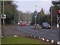

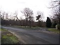
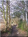
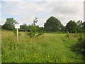

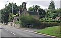
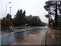
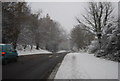
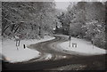
100 photos from this area
Area Information
Key information about the TN4 0TU including its size, population, and administrative classification.
- Area Type
- Postcode
- Area Size
- 9.8 hectares
- Population
- 1359
- Population Density
- 389 people/km²
House Prices in TN4 0TU
28
Properties
£653,813
Average Sold Price
£280,000
Lowest Price
£941,000
Highest Price
Showing 28 properties
| Address | Type | Beds | Baths | Last Sale Price | Last Sale Date | |
|---|---|---|---|---|---|---|
| 14 Hardinge Avenue, Southborough, Tunbridge Wells, TN4 0TU | Detached | 3 | 1 | £710,000 | Mar 2024 | |
| 13 Hardinge Avenue, Southborough, Tunbridge Wells, TN4 0TU | Detached | 5 | 1 | £750,000 | Oct 2023 | |
| 21 Hardinge Avenue, Southborough, Tunbridge Wells, TN4 0TU | Detached | 3 | 1 | £650,000 | Feb 2023 | |
| 11 Hardinge Avenue, Southborough, Tunbridge Wells, TN4 0TU | Detached | 5 | 2 | £900,000 | Dec 2022 | |
| 1 Hardinge Avenue, Southborough, Tunbridge Wells, TN4 0TU | Detached | 3 | 2 | £820,000 | Dec 2022 | |
| 18 Hardinge Avenue, Southborough, Tunbridge Wells, TN4 0TU | Detached | 4 | 2 | £941,000 | Oct 2022 | |
| 10 Hardinge Avenue, Southborough, Tunbridge Wells, TN4 0TU | house | - | - | £650,000 | Nov 2020 | |
| Woodside House, 11B Hardinge Avenue, Southborough, Tunbridge Wells, TN4 0TU | Detached | 4 | 2 | £755,000 | Jan 2020 | |
| 2 Hardinge Avenue, Southborough, Tunbridge Wells, TN4 0TU | Detached | 5 | 4 | £720,000 | Oct 2019 | |
| 3 Hardinge Avenue, Southborough, Tunbridge Wells, TN4 0TU | house | 4 | - | £607,500 | Sep 2013 |
Page 1 of 3
Energy Efficiency in TN4 0TU
Amenities
Schools
| Rank | School | Type | Entry gender | Ages |
|---|
Explore more schools in this area
Go to Schools tabDemographics
Household Size
Family (3-5 people)
most common
Accommodation Type
Houses
most common
Tenure
91
majority
Ethnic Group
White
most common
Religion
N/A
most common
Household Composition
N/A
most common
Age
47
median
Adults (30-64 years)
most common
Household Deprivation
N/A
with no deprivation
NS-SEC
54
in Lower managerial occupations
Explore more demographic insights in this area
Go to Demographics tabPlanning
Planning Constraints
- Flood RiskPremium
- Ramsar Wetland SitesPremium
- Area of Outstanding Natural BeautyPremium
- Protected Nature ReservePremium
- Protected WoodlandPremium