Area Overview for TN39 4TW
Photos of TN39 4TW
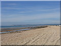
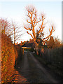
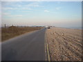
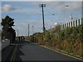
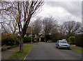

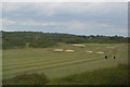
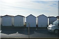
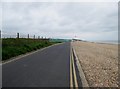
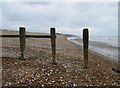
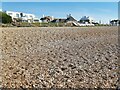
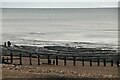
57 photos from this area
Area Information
Key information about the TN39 4TW including its size, population, and administrative classification.
- Area Type
- Postcode
- Area Size
- 16.6 hectares
- Population
- 1284
- Population Density
- 163 people/km²
House Prices in TN39 4TW
35
Properties
£705,011
Average Sold Price
£105,000
Lowest Price
£1,200,000
Highest Price
Showing 35 properties
| Address | Type | Beds | Baths | Last Sale Price | Last Sale Date | |
|---|---|---|---|---|---|---|
| Brindles, Clavering Walk, Bexhill, TN39 4TW | Detached | 4 | 3 | £685,000 | Jul 2025 | |
| Links Side, 19 Clavering Walk, Bexhill, TN39 4TW | Detached | 6 | 4 | £1,000,000 | Aug 2024 | |
| 15 Clavering Walk, Bexhill, TN39 4TW | Detached | 2 | 3 | £1,005,000 | Nov 2023 | |
| 17A Clavering Walk, Bexhill, TN39 4TW | Detached | 5 | 4 | £1,200,000 | Jun 2023 | |
| Old Nerralls, 37 Clavering Walk, Bexhill, TN39 4TW | Detached | 4 | 3 | £950,000 | Jul 2022 | |
| 25 Clavering Walk, Bexhill, TN39 4TW | Detached | 4 | 1 | £865,000 | Feb 2022 | |
| 1 Clavering Walk, Bexhill, TN39 4TW | Detached | 4 | 2 | £660,000 | Nov 2020 | |
| 27 Clavering Walk, Bexhill, TN39 4TW | Detached | 4 | 2 | £745,000 | Jul 2019 | |
| Crofters, 35 Clavering Walk, Bexhill, TN39 4TW | Detached | 4 | 2 | £750,000 | Oct 2018 | |
| The Thatched House, 39 Clavering Walk, Bexhill, TN39 4TW | Detached | 4 | 2 | £740,000 | Sep 2017 |
Page 1 of 4
Energy Efficiency in TN39 4TW
Amenities
Schools
| Rank | School | Type | Entry gender | Ages |
|---|
Explore more schools in this area
Go to Schools tabDemographics
Household Size
Two person
most common
Accommodation Type
Houses
most common
Tenure
90
majority
Ethnic Group
White
most common
Religion
N/A
most common
Household Composition
N/A
most common
Age
70
median
Elderly (65+ years)
most common
Household Deprivation
N/A
with no deprivation
NS-SEC
41
in Lower managerial occupations
Explore more demographic insights in this area
Go to Demographics tabPlanning
Planning Constraints
- Flood RiskPremium
- Ramsar Wetland SitesPremium
- Area of Outstanding Natural BeautyPremium
- Protected Nature ReservePremium
- Protected WoodlandPremium