Area Overview for TN30 6BD
Photos of TN30 6BD
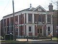
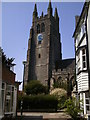
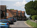
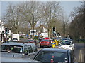
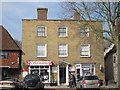
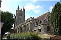
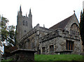
100 photos from this area
Area Information
Key information about the TN30 6BD including its size, population, and administrative classification.
- Area Type
- Postcode
- Area Size
- 6615 m²
- Population
- 1361
- Population Density
- 205739 people/km²
House Prices in TN30 6BD
10
Properties
-
Average Sold Price
-
Lowest Price
-
Highest Price
Showing 10 properties
| Address | Type | Beds | Baths | Last Sale Price | Last Sale Date | |
|---|---|---|---|---|---|---|
| Flat 2, 53 High Street, Tenterden, TN30 6BD | Flat | - | - | - | - | |
| 61 High Street, Tenterden, TN30 6BD | Detached | - | - | - | - | |
| Accommodation, White Lion Hotel, 57 High Street, Tenterden, TN30 6BD | Flat | - | - | - | - | |
| First Floor Rear, 53 High Street, Tenterden, TN30 6BD | Office | - | - | - | - | |
| 63A High Street, Tenterden, TN30 6BD | office_workshop | - | - | - | - | |
| 65A High Street, Tenterden, TN30 6BD | Flat | - | - | - | - | |
| Artisserie, 53 High Street, Tenterden, TN30 6BD | Retail | - | - | - | - | |
| Second Floor Flat, The Pebbles, 55 High Street, Tenterden, TN30 6BD | Flat | - | - | - | - | |
| Central Garage, High Street, Tenterden, TN30 6BD | house | - | - | - | - | |
| First Floor, The Pebbles, 55 High Street, Tenterden, TN30 6BD | Office | - | - | - | - |
Energy Efficiency in TN30 6BD
Amenities
Schools
| Rank | School | Type | Entry gender | Ages |
|---|
Explore more schools in this area
Go to Schools tabDemographics
Household Size
One person
most common
Accommodation Type
Houses
most common
Tenure
61
majority
Ethnic Group
White
most common
Religion
N/A
most common
Household Composition
N/A
most common
Age
47
median
Elderly (65+ years)
most common
Household Deprivation
N/A
with no deprivation
NS-SEC
34
in Lower managerial occupations
Explore more demographic insights in this area
Go to Demographics tabPlanning
Planning Constraints
- Flood RiskPremium
- Ramsar Wetland SitesPremium
- Area of Outstanding Natural BeautyPremium
- Protected Nature ReservePremium
- Protected WoodlandPremium
- Crime & SafetyPremium