Area Overview for TN3 9JN
Photos of TN3 9JN
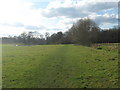
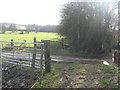
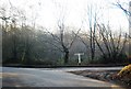
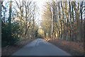
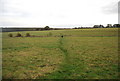
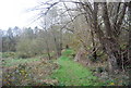
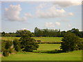
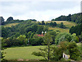

100 photos from this area
Area Information
Key information about the TN3 9JN including its size, population, and administrative classification.
- Area Type
- Postcode
- Area Size
- 1.2 km²
- Population
- 2026
- Population Density
- 49 people/km²
House Prices in TN3 9JN
13
Properties
£418,625
Average Sold Price
£14,500
Lowest Price
£740,000
Highest Price
Showing 13 properties
| Address | Type | Beds | Baths | Last Sale Price | Last Sale Date | |
|---|---|---|---|---|---|---|
| 3, Yew Tree Cottage, South Farm Lane, Broadwater Forest, Frant, TN3 9JN | Semi-detached | 3 | 1 | £550,000 | Dec 2023 | |
| 2, Yew Tree Cottage, South Farm Lane, Broadwater Forest, Frant, TN3 9JN | Semi-detached | 3 | - | £14,500 | Jun 2021 | |
| 1, Yew Tree Cottage, South Farm Lane, Broadwater Forest, Frant, TN3 9JN | Semi-detached | 3 | 2 | £740,000 | Oct 2016 | |
| 4, Yew Tree Cottage, South Farm Lane, Broadwater Forest, Frant, TN3 9JN | Semi-detached | - | - | £370,000 | Jun 2008 | |
| South Farm, South Farm Lane, Broadwater Forest, Frant, TN3 9JN | Semi-detached | 4 | 2 | - | - | |
| Pokehill Farm, South Farm Lane, Langton Green, Tunbridge Wells, TN3 9JN | Detached | 4 | 3 | - | - | |
| Pokehill Farm Oast, South Farm Lane, Langton Green, Tunbridge Wells, TN3 9JN | Detached | 4 | 2 | - | - | |
| Rainbows End Cottage, South Farm Lane, Broadwater Forest, Frant, TN3 9JN | Detached | 3 | 1 | - | - | |
| Beagle Cottage, South Farm Lane, Broadwater Forest, Frant, TN3 9JN | Semi-detached | 3 | 1 | - | - | |
| The Barn, Pokehill Farm, South Farm Lane, Langton Green, Tunbridge Wells, TN3 9JN | Retail | 4 | 3 | - | - |
Page 1 of 2
Energy Efficiency in TN3 9JN
Amenities
Schools
| Rank | School | Type | Entry gender | Ages |
|---|
Explore more schools in this area
Go to Schools tabDemographics
Household Size
Two person
most common
Accommodation Type
Houses
most common
Tenure
79
majority
Ethnic Group
White
most common
Religion
N/A
most common
Household Composition
N/A
most common
Age
47
median
Adults (30-64 years)
most common
Household Deprivation
N/A
with no deprivation
NS-SEC
50
in Lower managerial occupations
Explore more demographic insights in this area
Go to Demographics tabPlanning
Planning Constraints
- Flood RiskPremium
- Ramsar Wetland SitesPremium
- Area of Outstanding Natural BeautyPremium
- Protected Nature ReservePremium
- Protected WoodlandPremium