Area Overview for TN3 8DY
Photos of TN3 8DY
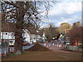
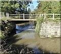
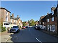
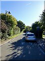
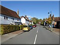
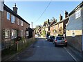
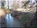
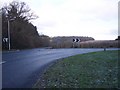
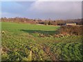

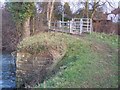
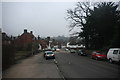
104 photos from this area
Area Information
Key information about the TN3 8DY including its size, population, and administrative classification.
- Area Type
- Postcode
- Area Size
- 20.4 hectares
- Population
- 1635
- Population Density
- 76 people/km²
House Prices in TN3 8DY
29
Properties
£362,557
Average Sold Price
£192,500
Lowest Price
£675,000
Highest Price
Showing 29 properties
| Address | Type | Beds | Baths | Last Sale Price | Last Sale Date | |
|---|---|---|---|---|---|---|
| 1 Hopgarden Close, Lamberhurst, Tunbridge Wells, TN3 8DY | Detached | 4 | 2 | £515,000 | May 2025 | |
| 2 Hopgarden Close, Lamberhurst, Tunbridge Wells, TN3 8DY | Semi-detached | 3 | 1 | £395,000 | Feb 2023 | |
| 3 Hopgarden Close, Lamberhurst, Tunbridge Wells, TN3 8DY | Semi-detached | 3 | 2 | £315,000 | Feb 2021 | |
| 26 Hopgarden Close, Lamberhurst, Tunbridge Wells, TN3 8DY | house | - | - | £480,000 | Jun 2020 | |
| 5 Hopgarden Close, Lamberhurst, Tunbridge Wells, TN3 8DY | Semi-detached | 4 | 1 | £395,000 | Nov 2019 | |
| 27 Hopgarden Close, Lamberhurst, Tunbridge Wells, TN3 8DY | Semi-detached | 4 | 3 | £480,000 | Jul 2018 | |
| 19 Hopgarden Close, Lamberhurst, Tunbridge Wells, TN3 8DY | Terraced | 3 | - | £335,000 | Apr 2018 | |
| 9 Hopgarden Close, Lamberhurst, Tunbridge Wells, TN3 8DY | house | - | - | £270,000 | Apr 2017 | |
| 29 Hopgarden Close, Lamberhurst, Tunbridge Wells, TN3 8DY | house | - | - | £675,000 | Dec 2016 | |
| 28 Hopgarden Close, Lamberhurst, Tunbridge Wells, TN3 8DY | Terraced | 4 | - | £481,250 | Aug 2015 |
Page 1 of 3
Energy Efficiency in TN3 8DY
Amenities
Schools
| Rank | School | Type | Entry gender | Ages |
|---|
Explore more schools in this area
Go to Schools tabDemographics
Household Size
Family (3-5 people)
most common
Accommodation Type
Houses
most common
Tenure
71
majority
Ethnic Group
White
most common
Religion
N/A
most common
Household Composition
N/A
most common
Age
47
median
Adults (30-64 years)
most common
Household Deprivation
N/A
with no deprivation
NS-SEC
46
in Lower managerial occupations
Explore more demographic insights in this area
Go to Demographics tabPlanning
Planning Constraints
- Flood RiskPremium
- Ramsar Wetland SitesPremium
- Area of Outstanding Natural BeautyPremium
- Protected Nature ReservePremium
- Protected WoodlandPremium