Area Overview for TN3 0AF
Photos of TN3 0AF
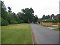
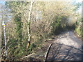
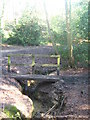
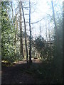

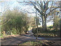
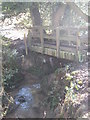
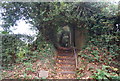
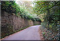
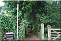
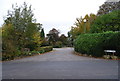
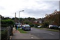
100 photos from this area
Area Information
Key information about the TN3 0AF including its size, population, and administrative classification.
- Area Type
- Postcode
- Area Size
- 2.1 hectares
- Population
- 1373
- Population Density
- 954 people/km²
House Prices in TN3 0AF
18
Properties
£617,993
Average Sold Price
£118,000
Lowest Price
£1,409,000
Highest Price
Showing 18 properties
| Address | Type | Beds | Baths | Last Sale Price | Last Sale Date | |
|---|---|---|---|---|---|---|
| 66 Dornden Drive, Langton Green, Tunbridge Wells, TN3 0AF | Detached | 4 | 3 | £320,000 | Feb 2025 | |
| 48 Dornden Drive, Langton Green, Tunbridge Wells, TN3 0AF | Detached | 5 | 3 | £1,409,000 | Dec 2023 | |
| 36 Dornden Drive, Langton Green, Tunbridge Wells, TN3 0AF | Detached | 4 | 2 | £1,010,000 | Sep 2020 | |
| 38 Dornden Drive, Langton Green, Tunbridge Wells, TN3 0AF | Detached | 5 | 2 | £1,240,000 | Nov 2018 | |
| 40 Dornden Drive, Langton Green, Tunbridge Wells, TN3 0AF | house | - | - | £850,000 | Mar 2018 | |
| 56 Dornden Drive, Langton Green, Tunbridge Wells, TN3 0AF | house | - | - | £775,000 | Jun 2015 | |
| 68 Dornden Drive, Langton Green, Tunbridge Wells, TN3 0AF | Detached | 4 | 2 | £549,950 | Aug 2014 | |
| 70 Dornden Drive, Langton Green, Tunbridge Wells, TN3 0AF | Detached | 4 | - | £625,000 | Jun 2014 | |
| 54 Dornden Drive, Langton Green, Tunbridge Wells, TN3 0AF | Detached | 4 | 3 | £550,000 | Oct 2011 | |
| 60 Dornden Drive, Langton Green, Tunbridge Wells, TN3 0AF | Detached | - | - | £399,950 | Aug 2006 |
Page 1 of 2
Energy Efficiency in TN3 0AF
Amenities
Schools
| Rank | School | Type | Entry gender | Ages |
|---|
Explore more schools in this area
Go to Schools tabDemographics
Household Size
Family (3-5 people)
most common
Accommodation Type
Houses
most common
Tenure
96
majority
Ethnic Group
White
most common
Religion
N/A
most common
Household Composition
N/A
most common
Age
47
median
Adults (30-64 years)
most common
Household Deprivation
N/A
with no deprivation
NS-SEC
59
in Lower managerial occupations
Explore more demographic insights in this area
Go to Demographics tabPlanning
Planning Constraints
- Flood RiskPremium
- Ramsar Wetland SitesPremium
- Area of Outstanding Natural BeautyPremium
- Protected Nature ReservePremium
- Protected WoodlandPremium