Area Overview for TN27 8NJ
Photos of TN27 8NJ
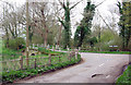
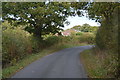
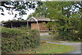
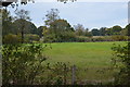
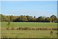
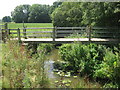
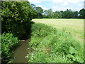
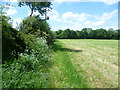
46 photos from this area
Area Information
Key information about the TN27 8NJ including its size, population, and administrative classification.
- Area Type
- Postcode
- Area Size
- 17.7 hectares
- Population
- 1455
- Population Density
- 67 people/km²
House Prices in TN27 8NJ
12
Properties
£588,929
Average Sold Price
£115,000
Lowest Price
£995,000
Highest Price
Showing 12 properties
| Address | Type | Beds | Baths | Last Sale Price | Last Sale Date | |
|---|---|---|---|---|---|---|
| Halfways, Pluckley Road, Smarden, TN27 8NJ | house | 3 | 2 | £695,000 | Aug 2025 | |
| The Weavers Cottage, Pluckley Road, Smarden, TN27 8NJ | house | - | - | £975,000 | Jan 2025 | |
| Austens Barn, Pluckley Road, Smarden, TN27 8NJ | house | 6 | 5 | £995,000 | Apr 2018 | |
| Prosser Farm House, Pluckley Road, Smarden, TN27 8NJ | Detached | 4 | 2 | £762,000 | Mar 2018 | |
| 1, Bakers Bridge Cottages, Pluckley Road, Smarden, TN27 8NJ | Semi-detached | 3 | 1 | £393,000 | Jul 2016 | |
| 2, Bakers Bridge Cottages, Pluckley Road, Smarden, TN27 8NJ | Semi-detached | 3 | - | £115,000 | Jun 1996 | |
| Newenden House, Pluckley Road, Smarden, TN27 8NJ | Detached | 4 | 1 | £187,500 | Nov 1995 | |
| The Thatched Barn, Lewd Lane, Smarden, TN27 8NJ | Detached | 4 | - | - | - | |
| Biddenden Green Farm, Lewd Lane, Smarden, TN27 8NJ | Detached | 3 | - | - | - | |
| Bakers Bridge Cottage, Pluckley Road, Smarden, TN27 8NJ | Semi-detached | 4 | 1 | - | - |
Page 1 of 2
Energy Efficiency in TN27 8NJ
Amenities
Schools
| Rank | School | Type | Entry gender | Ages |
|---|
Explore more schools in this area
Go to Schools tabDemographics
Household Size
Two person
most common
Accommodation Type
Houses
most common
Tenure
77
majority
Ethnic Group
White
most common
Religion
N/A
most common
Household Composition
N/A
most common
Age
47
median
Adults (30-64 years)
most common
Household Deprivation
N/A
with no deprivation
NS-SEC
41
in Lower managerial occupations
Explore more demographic insights in this area
Go to Demographics tabPlanning
Planning Constraints
- Flood RiskPremium
- Ramsar Wetland SitesPremium
- Area of Outstanding Natural BeautyPremium
- Protected Nature ReservePremium
- Protected WoodlandPremium