Area Overview for TN27 0RH
Photos of TN27 0RH
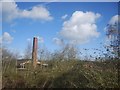
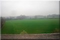
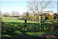
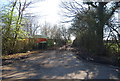
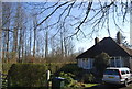
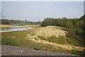
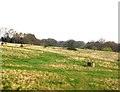
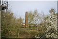
47 photos from this area
Area Information
Key information about the TN27 0RH including its size, population, and administrative classification.
- Area Type
- Postcode
- Area Size
- 47.3 hectares
- Population
- 1821
- Population Density
- 81 people/km²
House Prices in TN27 0RH
12
Properties
£493,333
Average Sold Price
£375,000
Lowest Price
£725,000
Highest Price
Showing 12 properties
| Address | Type | Beds | Baths | Last Sale Price | Last Sale Date | |
|---|---|---|---|---|---|---|
| Fold House, Chambers Green Road, Pluckley, TN27 0RH | Detached | 3 | 2 | £725,000 | Dec 2024 | |
| Lilloett, Chambers Green Road, Pluckley, TN27 0RH | Detached | - | - | £375,000 | May 2006 | |
| Green Hedges, Chambers Green Road, Pluckley, TN27 0RH | Bungalow | - | - | £380,000 | Aug 2005 | |
| Moonfield, Chambers Green Road, Pluckley, TN27 0RH | Detached | 4 | 2 | - | - | |
| Mobile Home At, Lilloett, Chambers Green Road, Pluckley, TN27 0RH | Mobile Home | - | - | - | - | |
| Turners Farmhouse, Chambers Green Road, Pluckley, TN27 0RH | Detached | - | - | - | - | |
| Mobile Home At, Broadfield, Chambers Green Road, Pluckley, TN27 0RH | Mobile Home | - | - | - | - | |
| Land West Of Herber, Chambers Green Road, Pluckley, TN27 0RH | commercial | - | - | - | - | |
| Broadfield, Chambers Green Road, Pluckley, TN27 0RH | house | - | - | - | - | |
| Heber, Chambers Green Road, Pluckley, TN27 0RH | Detached | - | - | - | - |
Page 1 of 2
Energy Efficiency in TN27 0RH
Amenities
Schools
| Rank | School | Type | Entry gender | Ages |
|---|
Explore more schools in this area
Go to Schools tabDemographics
Household Size
Two person
most common
Accommodation Type
Houses
most common
Tenure
77
majority
Ethnic Group
White
most common
Religion
N/A
most common
Household Composition
N/A
most common
Age
47
median
Adults (30-64 years)
most common
Household Deprivation
N/A
with no deprivation
NS-SEC
42
in Lower managerial occupations
Explore more demographic insights in this area
Go to Demographics tabPlanning
Planning Constraints
- Flood RiskPremium
- Ramsar Wetland SitesPremium
- Area of Outstanding Natural BeautyPremium
- Protected Nature ReservePremium
- Protected WoodlandPremium