Area Overview for TN25 7DX
Photos of TN25 7DX
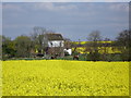
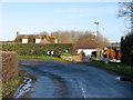
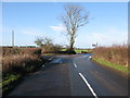
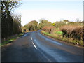
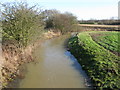
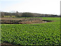
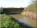
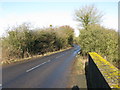
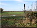
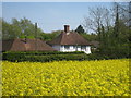
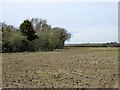
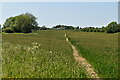
34 photos from this area
Area Information
Key information about the TN25 7DX including its size, population, and administrative classification.
- Area Type
- Postcode
- Area Size
- 89.7 hectares
- Population
- 1900
- Population Density
- 46 people/km²
House Prices in TN25 7DX
22
Properties
-
Average Sold Price
-
Lowest Price
-
Highest Price
Showing 22 properties
| Address | Type | Beds | Baths | Last Sale Price | Last Sale Date | |
|---|---|---|---|---|---|---|
| Simnells, Goldwell Lane, Aldington, TN25 7DX | Detached | 6 | 4 | - | - | |
| Goldwell Manor Farm, Goldwell Lane, Aldington, TN25 7DX | Detached | 6 | 4 | - | - | |
| Downs View, Goldwell Lane, Aldington, TN25 7DX | Bungalow | 3 | - | - | - | |
| Little Symnels, Goldwell Lane, Aldington, TN25 7DX | house | 3 | 2 | - | - | |
| Callywell Barn, Goldwell Lane, Aldington, TN25 7DX | Bungalow | 2 | 1 | - | - | |
| Mobile Home, Woodleas Farm, Goldwell Lane, Aldington, TN25 7DX | Mobile Home | - | - | - | - | |
| Calleywell Barn, Goldwell Lane, Aldington, TN25 7DX | Detached | - | - | - | - | |
| Land And Agricultural Buildings North East Of, Springfield, Goldwell Lane, Aldington, TN25 7DX | Farm | - | - | - | - | |
| Goldwell Farm, Goldwell Lane, Aldington, TN25 7DX | Bungalow | - | - | - | - | |
| Environment Agency, Depot At Woodleas Farm, Goldwell Lane, Aldington, TN25 7DX | warehouse | - | - | - | - |
Page 1 of 3
Energy Efficiency in TN25 7DX
Amenities
Schools
| Rank | School | Type | Entry gender | Ages |
|---|
Explore more schools in this area
Go to Schools tabDemographics
Household Size
Two person
most common
Accommodation Type
Houses
most common
Tenure
87
majority
Ethnic Group
White
most common
Religion
N/A
most common
Household Composition
N/A
most common
Age
47
median
Adults (30-64 years)
most common
Household Deprivation
N/A
with no deprivation
NS-SEC
41
in Lower managerial occupations
Explore more demographic insights in this area
Go to Demographics tabPlanning
Planning Constraints
- Flood RiskPremium
- Ramsar Wetland SitesPremium
- Area of Outstanding Natural BeautyPremium
- Protected Nature ReservePremium
- Protected WoodlandPremium
- Crime & SafetyPremium