Area Overview for TN24 0SD
Photos of TN24 0SD
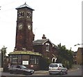
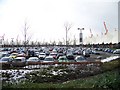
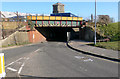
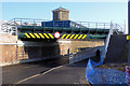
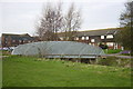
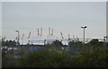
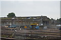
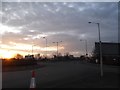
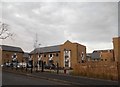
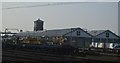
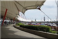
100 photos from this area
Area Information
Key information about the TN24 0SD including its size, population, and administrative classification.
- Area Type
- Postcode
- Area Size
- 14.4 hectares
- Population
- 1592
- Population Density
- 1191 people/km²
House Prices in TN24 0SD
16
Properties
-
Average Sold Price
-
Lowest Price
-
Highest Price
Showing 16 properties
| Address | Type | Beds | Baths | Last Sale Price | Last Sale Date | |
|---|---|---|---|---|---|---|
| Crocs, 49, Ashford Designer Outlet, Kimberley Way, Ashford, TN24 0SD | retail_financial | - | - | - | - | |
| Havaianas, Kiosks 3 To 4, Ashford Designer Outlet, Kimberley Way, Ashford, TN24 0SD | shop | - | - | - | - | |
| 60, Ashford Designer Outlet, Kimberley Way, Ashford, TN24 0SD | retail_financial | - | - | - | - | |
| Mcdonald's, F1, Ashford Designer Outlet, Kimberley Way, Ashford, TN24 0SD | restaurant_cafe | - | - | - | - | |
| T.m.lewin, 33, Ashford Designer Outlet, Kimberley Way, Ashford, TN24 0SD | retail_financial | - | - | - | - | |
| Watch Station, 17, Ashford Designer Outlet, Kimberley Way, Ashford, TN24 0SD | retail_financial | - | - | - | - | |
| Pro Cook, 32, Ashford Designer Outlet, Kimberley Way, Ashford, TN24 0SD | retail_financial | - | - | - | - | |
| Toilet Block B, Ashford Designer Outlet, Kimberley Way, Ashford, TN24 0SD | commercial | - | - | - | - | |
| Management Suite, Ashford Designer Outlet, Kimberley Way, Ashford, TN24 0SD | Office | - | - | - | - | |
| Toilet Block C, Ashford Designer Outlet, Kimberley Way, Ashford, TN24 0SD | commercial | - | - | - | - |
Page 1 of 2
Energy Efficiency in TN24 0SD
Amenities
Schools
| Rank | School | Type | Entry gender | Ages |
|---|
Explore more schools in this area
Go to Schools tabDemographics
Household Size
Family (3-5 people)
most common
Accommodation Type
Houses
most common
Tenure
52
majority
Ethnic Group
White
most common
Religion
N/A
most common
Household Composition
N/A
most common
Age
47
median
Adults (30-64 years)
most common
Household Deprivation
N/A
with no deprivation
NS-SEC
21
in Lower managerial occupations
Explore more demographic insights in this area
Go to Demographics tabPlanning
Planning Constraints
- Flood RiskPremium
- Ramsar Wetland SitesPremium
- Area of Outstanding Natural BeautyPremium
- Protected Nature ReservePremium
- Protected WoodlandPremium
- Crime & SafetyPremium