Area Overview for TN22 5XU
Photos of TN22 5XU
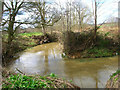
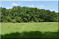
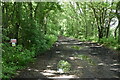
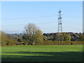
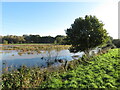
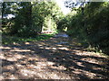
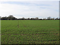
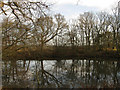
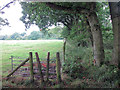
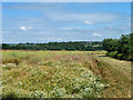
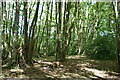
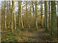
18 photos from this area
Area Information
Key information about the TN22 5XU including its size, population, and administrative classification.
- Area Type
- Postcode
- Area Size
- 52.8 hectares
- Population
- 1282
- Population Density
- 48 people/km²
House Prices in TN22 5XU
15
Properties
£899,200
Average Sold Price
£490,000
Lowest Price
£1,450,000
Highest Price
Showing 15 properties
| Address | Type | Beds | Baths | Last Sale Price | Last Sale Date | |
|---|---|---|---|---|---|---|
| Bemerside, Buckham Hill, Isfield, TN22 5XU | house | - | - | £490,000 | Sep 2022 | |
| Threave House, Buckham Hill, Isfield, TN22 5XU | house | - | - | £1,150,000 | Apr 2021 | |
| Little Oaks, Buckham Hill, Isfield, TN22 5XU | house | - | - | £566,000 | Mar 2021 | |
| The Oasthouse, Buckham Hill, Isfield, TN22 5XU | Detached | - | - | £840,000 | Aug 2007 | |
| Constantia Manor, Buckham Hill, Isfield, TN22 5XU | Detached | 7 | 6 | £1,450,000 | Jul 2000 | |
| The Old House, Buckham Hill, Isfield, TN22 5XU | Detached | 5 | 3 | - | - | |
| The Old Barn, New House Farm, Buckham Hill, Isfield, TN22 5XU | Detached | 5 | 4 | - | - | |
| Southview, New House Farm, Buckham Hill, Isfield, TN22 5XU | Detached | 5 | 3 | - | - | |
| MOBILE HOME, NEW HOUSE FARM, BUCKHAM HILL, Isfield, TN22 5XU | Mobile Home | - | - | - | - | |
| Annexe, The Old House, Buckham Hill, Isfield, TN22 5XU | undefined | - | - | - | - |
Page 1 of 2
Energy Efficiency in TN22 5XU
Amenities
Schools
| Rank | School | Type | Entry gender | Ages |
|---|
Explore more schools in this area
Go to Schools tabDemographics
Household Size
Two person
most common
Accommodation Type
Houses
most common
Tenure
80
majority
Ethnic Group
White
most common
Religion
N/A
most common
Household Composition
N/A
most common
Age
47
median
Adults (30-64 years)
most common
Household Deprivation
N/A
with no deprivation
NS-SEC
45
in Lower managerial occupations
Explore more demographic insights in this area
Go to Demographics tabPlanning
Planning Constraints
- Flood RiskPremium
- Ramsar Wetland SitesPremium
- Area of Outstanding Natural BeautyPremium
- Protected Nature ReservePremium
- Protected WoodlandPremium