Area Overview for TN22 4LZ
Photos of TN22 4LZ
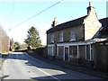
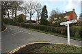
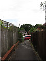
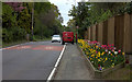

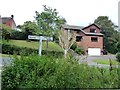
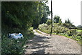
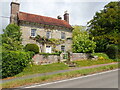
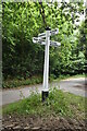
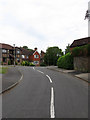
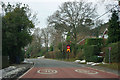
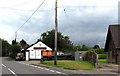
44 photos from this area
Area Information
Key information about the TN22 4LZ including its size, population, and administrative classification.
- Area Type
- Postcode
- Area Size
- 3.9 hectares
- Population
- 1713
- Population Density
- 112 people/km²
House Prices in TN22 4LZ
45
Properties
£388,146
Average Sold Price
£116,000
Lowest Price
£750,000
Highest Price
Showing 45 properties
| Address | Type | Beds | Baths | Last Sale Price | Last Sale Date | |
|---|---|---|---|---|---|---|
| 3 Britts Farm Road, Buxted, TN22 4LZ | Detached | 4 | 2 | £500,000 | Nov 2025 | |
| 8 Britts Farm Road, Buxted, TN22 4LZ | Detached | 5 | 2 | £750,000 | Oct 2025 | |
| 21 Britts Farm Road, Buxted, TN22 4LZ | house | 4 | 2 | £680,000 | Jun 2025 | |
| 6 Britts Farm Road, Buxted, TN22 4LZ | Detached | 5 | 3 | £735,500 | Apr 2024 | |
| Hazel Drove, Britts Farm Road, Buxted, TN22 4LZ | Detached | 4 | 2 | £600,000 | Apr 2024 | |
| 32 Britts Farm Road, Buxted, TN22 4LZ | Detached | 4 | 2 | £520,000 | Nov 2023 | |
| 1 Britts Farm Road, Buxted, TN22 4LZ | Detached | 4 | 3 | £710,000 | Oct 2022 | |
| 39 Britts Farm Road, Buxted, TN22 4LZ | Detached | 4 | - | £425,000 | Aug 2021 | |
| Ashdene, 20 Britts Farm Road, Buxted, TN22 4LZ | Detached | 4 | - | £705,000 | Jun 2021 | |
| 36 Britts Farm Road, Buxted, TN22 4LZ | house | 4 | 2 | £435,000 | Mar 2021 |
Page 1 of 5
Energy Efficiency in TN22 4LZ
Amenities
Schools
| Rank | School | Type | Entry gender | Ages |
|---|
Explore more schools in this area
Go to Schools tabDemographics
Household Size
Two person
most common
Accommodation Type
Houses
most common
Tenure
89
majority
Ethnic Group
White
most common
Religion
N/A
most common
Household Composition
N/A
most common
Age
47
median
Adults (30-64 years)
most common
Household Deprivation
N/A
with no deprivation
NS-SEC
51
in Lower managerial occupations
Explore more demographic insights in this area
Go to Demographics tabPlanning
Planning Constraints
- Flood RiskPremium
- Ramsar Wetland SitesPremium
- Area of Outstanding Natural BeautyPremium
- Protected Nature ReservePremium
- Protected WoodlandPremium