Area Overview for TN22 3ED
Photos of TN22 3ED
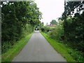
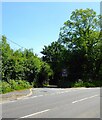
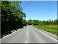
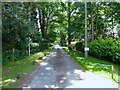
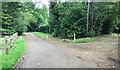
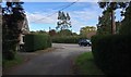
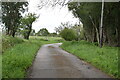

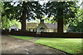
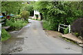
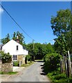
39 photos from this area
Area Information
Key information about the TN22 3ED including its size, population, and administrative classification.
- Area Type
- Postcode
- Area Size
- 65.6 hectares
- Population
- 2256
- Population Density
- 335 people/km²
House Prices in TN22 3ED
26
Properties
£672,700
Average Sold Price
£20,000
Lowest Price
£1,975,000
Highest Price
Showing 26 properties
| Address | Type | Beds | Baths | Last Sale Price | Last Sale Date | |
|---|---|---|---|---|---|---|
| Marshalls Manor, Horney Common Road, Maresfield, TN22 3ED | Detached | 6 | 4 | £20,000 | Mar 2023 | |
| Ferndale, Horney Common Road, Maresfield, TN22 3ED | house | - | - | £1,975,000 | Jul 2022 | |
| Coopersfield, Horney Common Road, Maresfield, TN22 3ED | house | - | - | £895,000 | Feb 2022 | |
| Brackens, Horney Common Road, Maresfield, TN22 3ED | house | - | - | £715,000 | Dec 2020 | |
| High Pines, Horney Common Road, Maresfield, TN22 3ED | house | - | - | £860,000 | Feb 2018 | |
| Shelleys, Horney Common Road, Maresfield, TN22 3ED | Bungalow | 5 | - | £700,000 | Jun 2012 | |
| Tall Timbers, Horney Common Road, Maresfield, TN22 3ED | house | - | - | £670,000 | Jul 2011 | |
| Old Kennelwood Cottage, Horney Common Road, Maresfield, TN22 3ED | Bungalow | 3 | - | £507,500 | Apr 2010 | |
| Pilgrim Lodge, Horney Common Road, Maresfield, TN22 3ED | Detached | - | - | £790,000 | Aug 2007 | |
| Scandia House, Horney Common Road, Maresfield, TN22 3ED | Detached | - | - | £900,000 | Jan 2007 |
Page 1 of 3
Energy Efficiency in TN22 3ED
Amenities
Schools
| Rank | School | Type | Entry gender | Ages |
|---|
Explore more schools in this area
Go to Schools tabDemographics
Household Size
Two person
most common
Accommodation Type
Houses
most common
Tenure
79
majority
Ethnic Group
White
most common
Religion
N/A
most common
Household Composition
N/A
most common
Age
47
median
Adults (30-64 years)
most common
Household Deprivation
N/A
with no deprivation
NS-SEC
42
in Lower managerial occupations
Explore more demographic insights in this area
Go to Demographics tabPlanning
Planning Constraints
- Flood RiskPremium
- Ramsar Wetland SitesPremium
- Area of Outstanding Natural BeautyPremium
- Protected Nature ReservePremium
- Protected WoodlandPremium