Area Overview for TN21 9NN
Photos of TN21 9NN
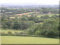
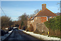
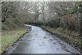
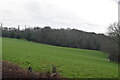
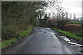
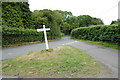
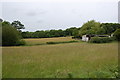
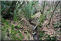
38 photos from this area
Area Information
Key information about the TN21 9NN including its size, population, and administrative classification.
- Area Type
- Postcode
- Area Size
- 31.4 hectares
- Population
- 1706
- Population Density
- 39 people/km²
House Prices in TN21 9NN
8
Properties
£577,500
Average Sold Price
£435,000
Lowest Price
£720,000
Highest Price
Showing 8 properties
| Address | Type | Beds | Baths | Last Sale Price | Last Sale Date | |
|---|---|---|---|---|---|---|
| Hop Garden Farmhouse, South Lane, Woods Corner, Dallington, TN21 9NN | Detached | 3 | 2 | £435,000 | Jul 2023 | |
| Willingford Farm, South Lane, Woods Corner, Dallington, TN21 9NN | Detached | 4 | 3 | £720,000 | Jan 2018 | |
| Saltley, South Lane, Woods Corner, Dallington, TN21 9NN | Detached | 3 | - | - | - | |
| Leveretts Farm, Redpale, Dallington, TN21 9NN | Farm | - | - | - | - | |
| Live Work Unit, Hop Garden Farm, South Lane, Woods Corner, Dallington, TN21 9NN | Detached | - | - | - | - | |
| October Cottage, Council Cottages, South Lane, Woods Corner, Dallington, TN21 9NN | Semi-detached | - | - | - | - | |
| 2, Council Cottages, South Lane, Woods Corner, Dallington, TN21 9NN | Semi-detached | - | - | - | - | |
| Paddock Ghyll Farm, South Lane, Woods Corner, Dallington, TN21 9NN | Detached | - | - | - | - |
Energy Efficiency in TN21 9NN
Amenities
Schools
| Rank | School | Type | Entry gender | Ages |
|---|
Explore more schools in this area
Go to Schools tabDemographics
Household Size
Two person
most common
Accommodation Type
Houses
most common
Tenure
84
majority
Ethnic Group
White
most common
Religion
N/A
most common
Household Composition
N/A
most common
Age
47
median
Adults (30-64 years)
most common
Household Deprivation
N/A
with no deprivation
NS-SEC
44
in Lower managerial occupations
Explore more demographic insights in this area
Go to Demographics tabPlanning
Planning Constraints
- Flood RiskPremium
- Ramsar Wetland SitesPremium
- Area of Outstanding Natural BeautyPremium
- Protected Nature ReservePremium
- Protected WoodlandPremium