Area Overview for TN20 6UB
Photos of TN20 6UB
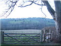
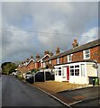
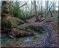
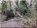
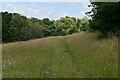
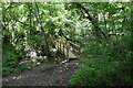
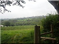
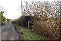
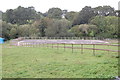
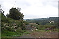
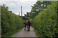
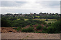
31 photos from this area
Area Information
Key information about the TN20 6UB including its size, population, and administrative classification.
- Area Type
- Postcode
- Area Size
- 21.1 hectares
- Population
- 1574
- Population Density
- 59 people/km²
House Prices in TN20 6UB
44
Properties
£721,719
Average Sold Price
£215,000
Lowest Price
£1,535,000
Highest Price
Showing 44 properties
| Address | Type | Beds | Baths | Last Sale Price | Last Sale Date | |
|---|---|---|---|---|---|---|
| Seefeld, The Warren, Mayfield, TN20 6UB | Bungalow | 3 | 2 | £675,000 | Aug 2023 | |
| Warren House, The Warren, Mayfield, TN20 6UB | Detached | 5 | 2 | £1,500,000 | Jun 2022 | |
| Sandleford, The Warren, Mayfield, TN20 6UB | Retail | 5 | 2 | £1,100,000 | May 2022 | |
| Fairways, The Warren, Mayfield, TN20 6UB | house | - | - | £850,000 | Feb 2022 | |
| Thorndene, The Warren, Mayfield, TN20 6UB | house | - | - | £1,475,000 | Sep 2021 | |
| Concordia, The Warren, Mayfield, TN20 6UB | house | - | - | £1,535,000 | Sep 2021 | |
| Broadlands, The Warren, Mayfield, TN20 6UB | Bungalow | - | - | £735,000 | Jun 2021 | |
| Sutherland, The Warren, Mayfield, TN20 6UB | house | 3 | - | £783,500 | Jan 2021 | |
| Badgers Wood, The Warren, Mayfield, TN20 6UB | Detached | 5 | 3 | £785,000 | Dec 2020 | |
| Warren Side, The Warren, Mayfield, TN20 6UB | Detached | 5 | 3 | £1,030,000 | Nov 2020 |
Page 1 of 5
Energy Efficiency in TN20 6UB
Amenities
Schools
| Rank | School | Type | Entry gender | Ages |
|---|
Explore more schools in this area
Go to Schools tabDemographics
Household Size
Two person
most common
Accommodation Type
Houses
most common
Tenure
85
majority
Ethnic Group
White
most common
Religion
N/A
most common
Household Composition
N/A
most common
Age
47
median
Adults (30-64 years)
most common
Household Deprivation
N/A
with no deprivation
NS-SEC
47
in Lower managerial occupations
Explore more demographic insights in this area
Go to Demographics tabPlanning
Planning Constraints
- Flood RiskPremium
- Ramsar Wetland SitesPremium
- Area of Outstanding Natural BeautyPremium
- Protected Nature ReservePremium
- Protected WoodlandPremium