Area Overview for TN2 3NY
Photos of TN2 3NY
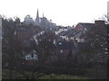
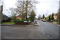
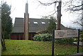
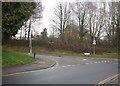
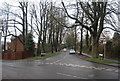
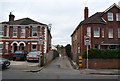
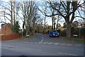
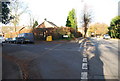
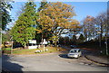
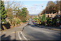
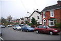
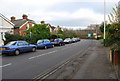
100 photos from this area
Area Information
Key information about the TN2 3NY including its size, population, and administrative classification.
- Area Type
- Postcode
- Area Size
- 1.6 hectares
- Population
- 2227
- Population Density
- 364 people/km²
House Prices in TN2 3NY
27
Properties
£406,733
Average Sold Price
£113,500
Lowest Price
£745,000
Highest Price
Showing 27 properties
| Address | Type | Beds | Baths | Last Sale Price | Last Sale Date | |
|---|---|---|---|---|---|---|
| 17 Springhead, Royal Tunbridge Wells, TN2 3NY | Detached | 4 | 1 | £745,000 | Nov 2023 | |
| 26 Springhead, Royal Tunbridge Wells, TN2 3NY | Semi-detached | 3 | 2 | £575,000 | Aug 2022 | |
| 13 Springhead, Royal Tunbridge Wells, TN2 3NY | house | - | - | £530,000 | Jul 2022 | |
| 28 Springhead, Royal Tunbridge Wells, TN2 3NY | house | - | - | £440,000 | Apr 2022 | |
| 15 Springhead, Royal Tunbridge Wells, TN2 3NY | Detached | 3 | - | £490,000 | Sep 2020 | |
| 29 Springhead, Royal Tunbridge Wells, TN2 3NY | Detached | 4 | - | £550,000 | Dec 2017 | |
| 7 Springhead, Royal Tunbridge Wells, TN2 3NY | house | 4 | - | £538,000 | Aug 2017 | |
| 1 Springhead, Royal Tunbridge Wells, TN2 3NY | house | 4 | - | £480,000 | Oct 2013 | |
| 6 Springhead, Royal Tunbridge Wells, TN2 3NY | house | - | - | £317,000 | Jun 2013 | |
| 5 Springhead, Royal Tunbridge Wells, TN2 3NY | house | 4 | - | £365,000 | Oct 2012 |
Page 1 of 3
Energy Efficiency in TN2 3NY
Amenities
Schools
| Rank | School | Type | Entry gender | Ages |
|---|
Explore more schools in this area
Go to Schools tabDemographics
Household Size
Two person
most common
Accommodation Type
Houses
most common
Tenure
72
majority
Ethnic Group
White
most common
Religion
N/A
most common
Household Composition
N/A
most common
Age
47
median
Adults (30-64 years)
most common
Household Deprivation
N/A
with no deprivation
NS-SEC
49
in Lower managerial occupations
Explore more demographic insights in this area
Go to Demographics tabPlanning
Planning Constraints
- Flood RiskPremium
- Ramsar Wetland SitesPremium
- Area of Outstanding Natural BeautyPremium
- Protected Nature ReservePremium
- Protected WoodlandPremium