Area Overview for TN18 5PJ
Photos of TN18 5PJ
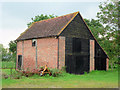
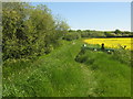
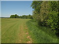
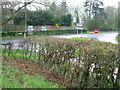
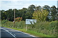
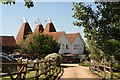
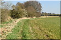
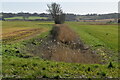
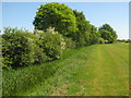
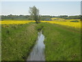

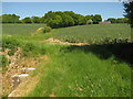
44 photos from this area
Area Information
Key information about the TN18 5PJ including its size, population, and administrative classification.
- Area Type
- Postcode
- Area Size
- 66.3 hectares
- Population
- 1415
- Population Density
- 79 people/km²
House Prices in TN18 5PJ
15
Properties
£264,875
Average Sold Price
£82,250
Lowest Price
£447,500
Highest Price
Showing 15 properties
| Address | Type | Beds | Baths | Last Sale Price | Last Sale Date | |
|---|---|---|---|---|---|---|
| Peppercorns, Rye Road, Newenden, TN18 5PJ | house | - | - | £447,500 | Jul 2017 | |
| Bardens Cottage, Rye Road, Sandhurst, Cranbrook, TN18 5PJ | Detached | - | - | £82,250 | Jun 2003 | |
| High Standings, Rye Road, Sandhurst, Cranbrook, TN18 5PJ | Detached | 4 | 3 | - | - | |
| Frymans Farm, Rye Road, Sandhurst, Cranbrook, TN18 5PJ | Farm | - | - | - | - | |
| Ellenden, Rye Road, Sandhurst, Cranbrook, TN18 5PJ | house | - | - | - | - | |
| Ellenden East, Rye Road, Sandhurst, Cranbrook, TN18 5PJ | Semi-detached | - | - | - | - | |
| First Floor Flat, Ellenden, Rye Road, Sandhurst, Cranbrook, TN18 5PJ | Flat | - | - | - | - | |
| Ground Floor Flat, Ellenden, Rye Road, Sandhurst, Cranbrook, TN18 5PJ | Flat | - | - | - | - | |
| Tennis 62M From High Standings, Rye Road 42M From Unnamed Road, Rye Road, Newenden, TN18 5PJ | Leisure | - | - | - | - | |
| 2, Lamberden Farm Cottage, Rye Road, Newenden, TN18 5PJ | house | - | - | - | - |
Page 1 of 2
Energy Efficiency in TN18 5PJ
Amenities
Schools
| Rank | School | Type | Entry gender | Ages |
|---|
Explore more schools in this area
Go to Schools tabDemographics
Household Size
Two person
most common
Accommodation Type
Houses
most common
Tenure
77
majority
Ethnic Group
White
most common
Religion
N/A
most common
Household Composition
N/A
most common
Age
47
median
Adults (30-64 years)
most common
Household Deprivation
N/A
with no deprivation
NS-SEC
38
in Lower managerial occupations
Explore more demographic insights in this area
Go to Demographics tabPlanning
Planning Constraints
- Flood RiskPremium
- Ramsar Wetland SitesPremium
- Area of Outstanding Natural BeautyPremium
- Protected Nature ReservePremium
- Protected WoodlandPremium