Area Overview for TN16 2JT
Photos of TN16 2JT
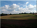
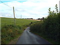
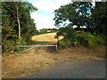
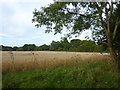
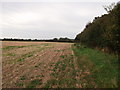
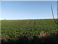
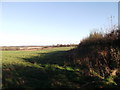
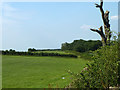
23 photos from this area
Area Information
Key information about the TN16 2JT including its size, population, and administrative classification.
- Area Type
- Postcode
- Area Size
- 92.1 hectares
- Population
- 1978
- Population Density
- 148 people/km²
House Prices in TN16 2JT
13
Properties
£953,000
Average Sold Price
£469,000
Lowest Price
£1,540,000
Highest Price
Showing 13 properties
| Address | Type | Beds | Baths | Last Sale Price | Last Sale Date | |
|---|---|---|---|---|---|---|
| Hedgerows, Tatsfield Approach Road, Tatsfield, TN16 2JT | Bungalow | 4 | - | £850,000 | Nov 2021 | |
| Waylands House, Tatsfield Approach Road, Tatsfield, TN16 2JT | house | 5 | - | £1,540,000 | Jul 2011 | |
| Furze Corner, Tatsfield Approach Road, Tatsfield, TN16 2JT | Detached | - | - | £469,000 | Sep 2002 | |
| 2, Beacon Shaw, Tatsfield Approach Road, Tatsfield, TN16 2JT | house | 4 | 4 | - | - | |
| Mobile Home Adjacent Waylands Cabin, Waylands Farm, Tatsfield Approach Road, Tatsfield, TN16 2JT | Mobile Home | - | - | - | - | |
| Former Annexe, Middle South, Tatsfield Approach Road, Tatsfield, TN16 2JT | Flat | - | - | - | - | |
| Annexe 1, Beacon Shaw, Tatsfield Approach Road, Tatsfield, TN16 2JT | Flat | - | - | - | - | |
| Waylands Cabin, Waylands Farm, Tatsfield Approach Road, Tatsfield, TN16 2JT | Semi-detached | - | - | - | - | |
| Mobile Home, Waylands Farm, Tatsfield Approach Road, Tatsfield, TN16 2JT | Mobile Home | - | - | - | - | |
| 1, Beacon Shaw, Tatsfield Approach Road, Tatsfield, TN16 2JT | house | - | - | - | - |
Page 1 of 2
Energy Efficiency in TN16 2JT
Amenities
Schools
| Rank | School | Type | Entry gender | Ages |
|---|
Explore more schools in this area
Go to Schools tabDemographics
Household Size
Two person
most common
Accommodation Type
Houses
most common
Tenure
84
majority
Ethnic Group
White
most common
Religion
N/A
most common
Household Composition
N/A
most common
Age
47
median
Adults (30-64 years)
most common
Household Deprivation
N/A
with no deprivation
NS-SEC
42
in Lower managerial occupations
Explore more demographic insights in this area
Go to Demographics tabPlanning
Planning Constraints
- Flood RiskPremium
- Ramsar Wetland SitesPremium
- Area of Outstanding Natural BeautyPremium
- Protected Nature ReservePremium
- Protected WoodlandPremium