Area Overview for TN16 2BQ
Photos of TN16 2BQ
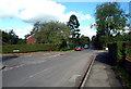
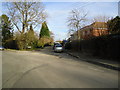
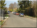
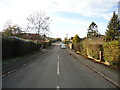
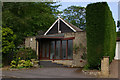
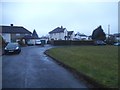
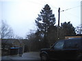
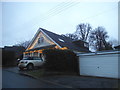
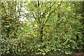
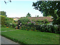
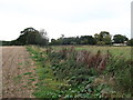
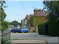
23 photos from this area
Area Information
Key information about the TN16 2BQ including its size, population, and administrative classification.
- Area Type
- Postcode
- Area Size
- 15.3 hectares
- Population
- 1978
- Population Density
- 148 people/km²
House Prices in TN16 2BQ
42
Properties
£633,000
Average Sold Price
£73,000
Lowest Price
£1,175,000
Highest Price
Showing 42 properties
| Address | Type | Beds | Baths | Last Sale Price | Last Sale Date | |
|---|---|---|---|---|---|---|
| 96 Paynesfield Road, Tatsfield, TN16 2BQ | Detached | 5 | 3 | £960,000 | Oct 2024 | |
| 76 Paynesfield Road, Tatsfield, TN16 2BQ | Detached | 3 | 2 | £900,000 | Mar 2023 | |
| 103 Paynesfield Road, Tatsfield, TN16 2BQ | Bungalow | 4 | 2 | £615,000 | Dec 2022 | |
| 107 Paynesfield Road, Tatsfield, TN16 2BQ | house | - | - | £740,000 | Sep 2021 | |
| 84 Paynesfield Road, Tatsfield, TN16 2BQ | house | - | - | £975,000 | Jun 2021 | |
| 89 Paynesfield Road, Tatsfield, TN16 2BQ | house | - | - | £840,000 | Mar 2021 | |
| Oak Lodge, 83 Paynesfield Road, Tatsfield, TN16 2BQ | house | 3 | - | £1,175,000 | Feb 2021 | |
| 81 Paynesfield Road, Tatsfield, TN16 2BQ | Detached | 4 | 2 | £790,000 | Sep 2018 | |
| Rylands, 75 Paynesfield Road, Tatsfield, TN16 2BQ | Bungalow | 5 | 2 | £535,000 | Dec 2016 | |
| 106 Paynesfield Road, Tatsfield, TN16 2BQ | Detached | 5 | 2 | £545,000 | Jan 2014 |
Page 1 of 5
Energy Efficiency in TN16 2BQ
Amenities
Schools
| Rank | School | Type | Entry gender | Ages |
|---|
Explore more schools in this area
Go to Schools tabDemographics
Household Size
Two person
most common
Accommodation Type
Houses
most common
Tenure
84
majority
Ethnic Group
White
most common
Religion
N/A
most common
Household Composition
N/A
most common
Age
47
median
Adults (30-64 years)
most common
Household Deprivation
N/A
with no deprivation
NS-SEC
42
in Lower managerial occupations
Explore more demographic insights in this area
Go to Demographics tabPlanning
Planning Constraints
- Flood RiskPremium
- Ramsar Wetland SitesPremium
- Area of Outstanding Natural BeautyPremium
- Protected Nature ReservePremium
- Protected WoodlandPremium