Area Overview for TN16 1RE
Photos of TN16 1RE
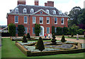
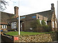
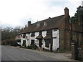
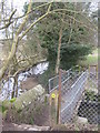
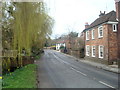
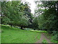
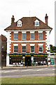
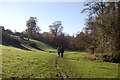
100 photos from this area
Area Information
Key information about the TN16 1RE including its size, population, and administrative classification.
- Area Type
- Postcode
- Area Size
- 6785 m²
- Population
- 1550
- Population Density
- 214 people/km²
House Prices in TN16 1RE
28
Properties
£294,950
Average Sold Price
£78,000
Lowest Price
£490,000
Highest Price
Showing 28 properties
| Address | Type | Beds | Baths | Last Sale Price | Last Sale Date | |
|---|---|---|---|---|---|---|
| 77 High Street, Westerham, TN16 1RE | Semi-detached | 2 | 1 | £440,000 | Jun 2023 | |
| 85 High Street, Westerham, TN16 1RE | Semi-detached | 3 | 1 | £455,000 | May 2022 | |
| Suds Cottage, 79 High Street, Westerham, TN16 1RE | Retail | 3 | 2 | £450,000 | Apr 2022 | |
| 37 High Street, Westerham, TN16 1RE | Terraced | 2 | 1 | £285,000 | Dec 2021 | |
| 87 High Street, Westerham, TN16 1RE | Semi-detached | 3 | 1 | £490,000 | Apr 2021 | |
| 55 High Street, Westerham, TN16 1RE | Terraced | - | - | £365,000 | Oct 2020 | |
| 69A High Street, Westerham, TN16 1RE | Maisonette | 2 | 1 | £240,000 | Feb 2020 | |
| 67 High Street, Westerham, TN16 1RE | Flat | 1 | 1 | £210,000 | Mar 2019 | |
| 53 High Street, Westerham, TN16 1RE | Terraced | 2 | 1 | £395,000 | Mar 2018 | |
| 93 High Street, Westerham, TN16 1RE | Semi-detached | 3 | 1 | £360,000 | Sep 2014 |
Page 1 of 3
Energy Efficiency in TN16 1RE
Amenities
Schools
| Rank | School | Type | Entry gender | Ages |
|---|
Explore more schools in this area
Go to Schools tabDemographics
Household Size
Two person
most common
Accommodation Type
Houses
most common
Tenure
69
majority
Ethnic Group
White
most common
Religion
N/A
most common
Household Composition
N/A
most common
Age
47
median
Adults (30-64 years)
most common
Household Deprivation
N/A
with no deprivation
NS-SEC
46
in Lower managerial occupations
Explore more demographic insights in this area
Go to Demographics tabPlanning
Planning Constraints
- Flood RiskPremium
- Ramsar Wetland SitesPremium
- Area of Outstanding Natural BeautyPremium
- Protected Nature ReservePremium
- Protected WoodlandPremium