Area Overview for TN16 1NT
Photos of TN16 1NT
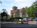
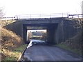
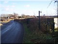

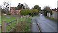
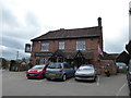
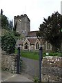
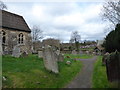
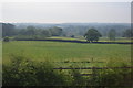
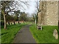
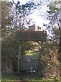
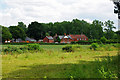
48 photos from this area
Area Information
Key information about the TN16 1NT including its size, population, and administrative classification.
- Area Type
- Postcode
- Area Size
- 6.5 hectares
- Population
- 1631
- Population Density
- 175 people/km²
House Prices in TN16 1NT
11
Properties
£524,500
Average Sold Price
£100,000
Lowest Price
£830,000
Highest Price
Showing 11 properties
| Address | Type | Beds | Baths | Last Sale Price | Last Sale Date | |
|---|---|---|---|---|---|---|
| 3 Station Road, Brasted, TN16 1NT | Semi-detached | 2 | 1 | £507,000 | Mar 2025 | |
| St Martins Cottage, Station Road, Brasted, TN16 1NT | house | - | - | £685,000 | Sep 2022 | |
| 4 Station Road, Brasted, TN16 1NT | Semi-detached | 2 | 1 | £415,000 | Mar 2021 | |
| The Lodge, Station Road, Brasted, TN16 1NT | Bungalow | 3 | - | £610,000 | Sep 2018 | |
| Courtside Cottage, Station Road, Brasted, TN16 1NT | Flat | - | - | £830,000 | Oct 2008 | |
| Station House, Station Road, Brasted, TN16 1NT | Detached | 4 | 3 | £100,000 | Oct 1998 | |
| Courtside Lodge, Station Road, Brasted, TN16 1NT | Detached | - | - | - | - | |
| Mobile Home 2, Old Trafford Coal Yard, Station Road, Brasted, TN16 1NT | Mobile Home | - | - | - | - | |
| Old Trafford Coal Yard, Station Road, Brasted, TN16 1NT | Mobile Home | - | - | - | - | |
| Old Trafford Coal Yardx, Station Road, Brasted, TN16 1NT | Mobile Home | - | - | - | - |
Page 1 of 2
Energy Efficiency in TN16 1NT
Amenities
Schools
| Rank | School | Type | Entry gender | Ages |
|---|
Explore more schools in this area
Go to Schools tabDemographics
Household Size
Two person
most common
Accommodation Type
Houses
most common
Tenure
68
majority
Ethnic Group
White
most common
Religion
N/A
most common
Household Composition
N/A
most common
Age
47
median
Adults (30-64 years)
most common
Household Deprivation
N/A
with no deprivation
NS-SEC
40
in Lower managerial occupations
Explore more demographic insights in this area
Go to Demographics tabPlanning
Planning Constraints
- Flood RiskPremium
- Ramsar Wetland SitesPremium
- Area of Outstanding Natural BeautyPremium
- Protected Nature ReservePremium
- Protected WoodlandPremium