Area Overview for TN15 8HB
Photos of TN15 8HB

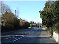
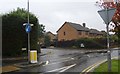
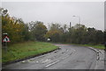
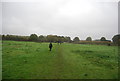
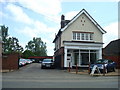
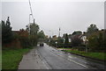
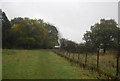
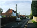
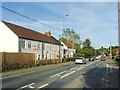
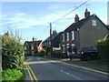
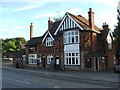
53 photos from this area
Area Information
Key information about the TN15 8HB including its size, population, and administrative classification.
- Area Type
- Postcode
- Area Size
- 3.3 hectares
- Population
- 1886
- Population Density
- 2189 people/km²
House Prices in TN15 8HB
24
Properties
£290,612
Average Sold Price
£108,000
Lowest Price
£515,000
Highest Price
Showing 24 properties
| Address | Type | Beds | Baths | Last Sale Price | Last Sale Date | |
|---|---|---|---|---|---|---|
| 11 Hill View, Borough Green, Sevenoaks, TN15 8HB | Terraced | 2 | 1 | £360,000 | Feb 2023 | |
| 19 Hill View, Borough Green, Sevenoaks, TN15 8HB | house | - | - | £515,000 | Sep 2021 | |
| 10 Hill View, Borough Green, Sevenoaks, TN15 8HB | house | - | - | £365,000 | May 2021 | |
| 19A Hill View, Borough Green, Sevenoaks, TN15 8HB | house | - | - | £490,000 | Apr 2021 | |
| 13 Hill View, Borough Green, Sevenoaks, TN15 8HB | Terraced | 2 | 1 | £285,000 | Aug 2020 | |
| 16 Hill View, Borough Green, Sevenoaks, TN15 8HB | house | - | - | £283,500 | Jun 2020 | |
| 12 Hill View, Borough Green, Sevenoaks, TN15 8HB | Terraced | 2 | 1 | £220,000 | Mar 2014 | |
| 20 Hill View, Borough Green, Sevenoaks, TN15 8HB | Semi-detached | 4 | 1 | £267,000 | Jul 2013 | |
| 23 Hill View, Borough Green, Sevenoaks, TN15 8HB | Bungalow | 3 | - | £270,000 | Jan 2012 | |
| 18 Hill View, Borough Green, Sevenoaks, TN15 8HB | house | 4 | - | £312,500 | Sep 2011 |
Page 1 of 3
Energy Efficiency in TN15 8HB
Amenities
Schools
| Rank | School | Type | Entry gender | Ages |
|---|
Explore more schools in this area
Go to Schools tabDemographics
Household Size
Family (3-5 people)
most common
Accommodation Type
Houses
most common
Tenure
66
majority
Ethnic Group
White
most common
Religion
N/A
most common
Household Composition
N/A
most common
Age
47
median
Adults (30-64 years)
most common
Household Deprivation
N/A
with no deprivation
NS-SEC
33
in Lower managerial occupations
Explore more demographic insights in this area
Go to Demographics tabPlanning
Planning Constraints
- Flood RiskPremium
- Ramsar Wetland SitesPremium
- Area of Outstanding Natural BeautyPremium
- Protected Nature ReservePremium
- Protected WoodlandPremium