Area Overview for TN15 8AP
Photos of TN15 8AP
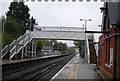
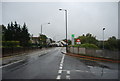
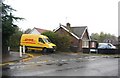
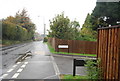
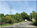
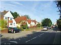
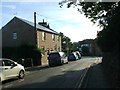
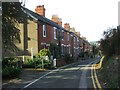
43 photos from this area
Area Information
Key information about the TN15 8AP including its size, population, and administrative classification.
- Area Type
- Postcode
- Area Size
- 13.3 hectares
- Population
- 2149
- Population Density
- 1774 people/km²
House Prices in TN15 8AP
26
Properties
£372,627
Average Sold Price
£69,950
Lowest Price
£1,188,577
Highest Price
Showing 26 properties
| Address | Type | Beds | Baths | Last Sale Price | Last Sale Date | |
|---|---|---|---|---|---|---|
| 92 Sevenoaks Road, Borough Green, Sevenoaks, TN15 8AP | Bungalow | 1 | 1 | £418,000 | Nov 2023 | |
| 64A Sevenoaks Road, Borough Green, Sevenoaks, TN15 8AP | Detached | 6 | - | £1,160,000 | Jun 2021 | |
| 72 Sevenoaks Road, Borough Green, Sevenoaks, TN15 8AP | Detached | 3 | 2 | £455,000 | Feb 2021 | |
| Westbank Care Home, 64 Sevenoaks Road, Borough Green, Sevenoaks, TN15 8AP | hospital_care_home | - | - | £1,188,577 | May 2019 | |
| 76 Sevenoaks Road, Borough Green, Sevenoaks, TN15 8AP | Detached | 4 | 1 | £320,000 | Sep 2017 | |
| 98 Sevenoaks Road, Borough Green, Sevenoaks, TN15 8AP | Bungalow | 2 | 1 | £304,250 | Nov 2015 | |
| 94 Sevenoaks Road, Borough Green, Sevenoaks, TN15 8AP | Bungalow | - | - | £266,000 | Feb 2012 | |
| 90 Sevenoaks Road, Borough Green, Sevenoaks, TN15 8AP | Detached | - | - | £249,995 | Jul 2007 | |
| 100 Sevenoaks Road, Borough Green, Sevenoaks, TN15 8AP | Detached | - | - | £310,000 | Sep 2006 | |
| 84 Sevenoaks Road, Borough Green, Sevenoaks, TN15 8AP | Semi-detached | - | - | £244,000 | May 2005 |
Page 1 of 3
Energy Efficiency in TN15 8AP
Amenities
Schools
| Rank | School | Type | Entry gender | Ages |
|---|
Explore more schools in this area
Go to Schools tabDemographics
Household Size
Family (3-5 people)
most common
Accommodation Type
Houses
most common
Tenure
78
majority
Ethnic Group
White
most common
Religion
N/A
most common
Household Composition
N/A
most common
Age
47
median
Adults (30-64 years)
most common
Household Deprivation
N/A
with no deprivation
NS-SEC
41
in Lower managerial occupations
Explore more demographic insights in this area
Go to Demographics tabPlanning
Planning Constraints
- Flood RiskPremium
- Ramsar Wetland SitesPremium
- Area of Outstanding Natural BeautyPremium
- Protected Nature ReservePremium
- Protected WoodlandPremium