Area Overview for TN15 6BU
Photos of TN15 6BU
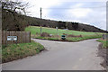
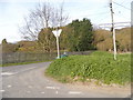
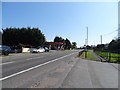

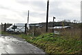
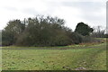
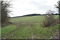
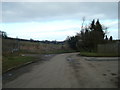
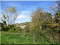
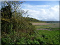
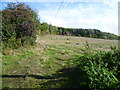
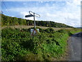
20 photos from this area
Area Information
Key information about the TN15 6BU including its size, population, and administrative classification.
- Area Type
- Postcode
- Area Size
- 8.8 hectares
- Population
- 1484
- Population Density
- 361 people/km²
House Prices in TN15 6BU
25
Properties
£284,838
Average Sold Price
£78,500
Lowest Price
£695,000
Highest Price
Showing 25 properties
| Address | Type | Beds | Baths | Last Sale Price | Last Sale Date | |
|---|---|---|---|---|---|---|
| 46 Millfield Road, West Kingsdown, TN15 6BU | Detached | 5 | 1 | £695,000 | Jun 2025 | |
| 88 Millfield Road, West Kingsdown, TN15 6BU | Semi-detached | 3 | 1 | £420,000 | Oct 2024 | |
| 62 Millfield Road, West Kingsdown, TN15 6BU | Bungalow | - | - | £417,500 | Dec 2023 | |
| 94 Millfield Road, West Kingsdown, TN15 6BU | Retail | 3 | 1 | £425,000 | May 2022 | |
| 66 Millfield Road, West Kingsdown, TN15 6BU | Bungalow | 3 | 1 | £400,000 | Nov 2015 | |
| 70 Millfield Road, West Kingsdown, TN15 6BU | Bungalow | - | - | £410,500 | Oct 2015 | |
| 86 Millfield Road, West Kingsdown, TN15 6BU | Semi-detached | - | - | £260,000 | Apr 2015 | |
| 82 Millfield Road, West Kingsdown, TN15 6BU | house | - | - | £272,000 | Dec 2014 | |
| 72 Millfield Road, West Kingsdown, TN15 6BU | Bungalow | 3 | - | £280,000 | Apr 2014 | |
| 76 Millfield Road, West Kingsdown, TN15 6BU | house | - | - | £320,000 | Aug 2010 |
Page 1 of 3
Energy Efficiency in TN15 6BU
Amenities
Schools
| Rank | School | Type | Entry gender | Ages |
|---|
Explore more schools in this area
Go to Schools tabDemographics
Household Size
One person
most common
Accommodation Type
Houses
most common
Tenure
91
majority
Ethnic Group
White
most common
Religion
N/A
most common
Household Composition
N/A
most common
Age
47
median
Adults (30-64 years)
most common
Household Deprivation
N/A
with no deprivation
NS-SEC
29
in Lower managerial occupations
Explore more demographic insights in this area
Go to Demographics tabPlanning
Planning Constraints
- Flood RiskPremium
- Ramsar Wetland SitesPremium
- Area of Outstanding Natural BeautyPremium
- Protected Nature ReservePremium
- Protected WoodlandPremium