Area Overview for TN14 7TL
Photos of TN14 7TL
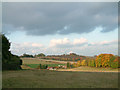
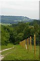
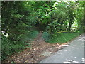
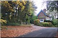
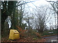
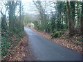
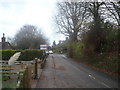
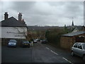
78 photos from this area
Area Information
Key information about the TN14 7TL including its size, population, and administrative classification.
- Area Type
- Postcode
- Area Size
- 7861 m²
- Population
- 1483
- Population Density
- 92 people/km²
House Prices in TN14 7TL
11
Properties
£419,300
Average Sold Price
£215,000
Lowest Price
£850,000
Highest Price
Showing 11 properties
| Address | Type | Beds | Baths | Last Sale Price | Last Sale Date | |
|---|---|---|---|---|---|---|
| 14 Crown Road, Shoreham, TN14 7TL | Terraced | 2 | 1 | £500,000 | Nov 2024 | |
| Haddon House, 2 Crown Road, Shoreham, TN14 7TL | house | - | - | £850,000 | Dec 2021 | |
| 12 Crown Road, Shoreham, TN14 7TL | Terraced | 2 | 1 | £392,500 | Mar 2017 | |
| 8 Crown Road, Shoreham, TN14 7TL | house | - | - | £355,000 | Feb 2017 | |
| 6 Crown Road, Shoreham, TN14 7TL | house | - | - | £345,000 | Dec 2015 | |
| 22 Crown Road, Shoreham, TN14 7TL | Detached | 3 | 1 | £360,000 | Sep 2012 | |
| 4 Crown Road, Shoreham, TN14 7TL | house | 2 | - | £320,500 | Jan 2012 | |
| 10 Crown Road, Shoreham, TN14 7TL | Terraced | - | - | £239,995 | Oct 2006 | |
| The Studio, 24 Crown Road, Shoreham, TN14 7TL | Detached | - | - | £615,000 | Mar 2006 | |
| 16 Crown Road, Shoreham, TN14 7TL | Terraced | - | - | £215,000 | Apr 2003 |
Page 1 of 2
Energy Efficiency in TN14 7TL
Amenities
Schools
| Rank | School | Type | Entry gender | Ages |
|---|
Explore more schools in this area
Go to Schools tabDemographics
Household Size
Family (3-5 people)
most common
Accommodation Type
Houses
most common
Tenure
71
majority
Ethnic Group
White
most common
Religion
N/A
most common
Household Composition
N/A
most common
Age
47
median
Adults (30-64 years)
most common
Household Deprivation
N/A
with no deprivation
NS-SEC
44
in Lower managerial occupations
Explore more demographic insights in this area
Go to Demographics tabPlanning
Planning Constraints
- Flood RiskPremium
- Ramsar Wetland SitesPremium
- Area of Outstanding Natural BeautyPremium
- Protected Nature ReservePremium
- Protected WoodlandPremium