Area Overview for TN13 2TB
Photos of TN13 2TB
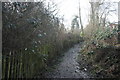
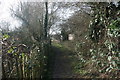
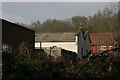
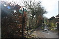
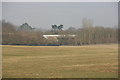
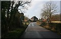
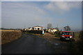
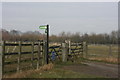
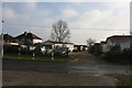
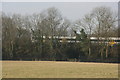
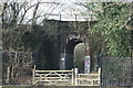
92 photos from this area
Area Information
Key information about the TN13 2TB including its size, population, and administrative classification.
- Area Type
- Postcode
- Area Size
- 2.6 hectares
- Population
- 1585
- Population Density
- 544 people/km²
House Prices in TN13 2TB
27
Properties
£280,294
Average Sold Price
£71,000
Lowest Price
£640,000
Highest Price
Showing 27 properties
| Address | Type | Beds | Baths | Last Sale Price | Last Sale Date | |
|---|---|---|---|---|---|---|
| 195 London Road, Dunton Green, TN13 2TB | Terraced | 2 | 1 | £400,000 | Nov 2022 | |
| 207 London Road, Dunton Green, TN13 2TB | Terraced | 2 | 1 | £355,000 | Aug 2022 | |
| 199 London Road, Dunton Green, TN13 2TB | Terraced | 2 | 1 | £382,000 | Jul 2022 | |
| 217 London Road, Dunton Green, TN13 2TB | Detached | 4 | 2 | £640,000 | Nov 2021 | |
| 191 London Road, Dunton Green, TN13 2TB | Terraced | 2 | - | £282,500 | Jun 2021 | |
| 209A London Road, Dunton Green, TN13 2TB | house | 2 | 1 | £600,000 | May 2021 | |
| 189 London Road, Dunton Green, TN13 2TB | Terraced | 2 | 1 | £295,000 | Oct 2016 | |
| 178 London Road, Dunton Green, TN13 2TB | Detached | 1 | 1 | £310,000 | Aug 2013 | |
| 172 London Road, Dunton Green, TN13 2TB | house | - | - | £250,000 | Dec 2011 | |
| 176 London Road, Dunton Green, TN13 2TB | house | - | - | £237,500 | Jun 2009 |
Page 1 of 3
Energy Efficiency in TN13 2TB
Amenities
Schools
| Rank | School | Type | Entry gender | Ages |
|---|
Explore more schools in this area
Go to Schools tabDemographics
Household Size
Family (3-5 people)
most common
Accommodation Type
Houses
most common
Tenure
68
majority
Ethnic Group
White
most common
Religion
N/A
most common
Household Composition
N/A
most common
Age
47
median
Adults (30-64 years)
most common
Household Deprivation
N/A
with no deprivation
NS-SEC
45
in Lower managerial occupations
Explore more demographic insights in this area
Go to Demographics tabPlanning
Planning Constraints
- Flood RiskPremium
- Ramsar Wetland SitesPremium
- Area of Outstanding Natural BeautyPremium
- Protected Nature ReservePremium
- Protected WoodlandPremium