Area Overview for TN13 2DG
Photos of TN13 2DG
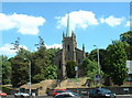
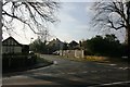
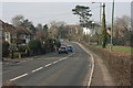
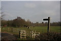
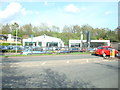
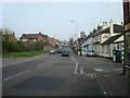
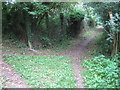
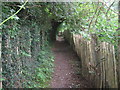
100 photos from this area
Area Information
Key information about the TN13 2DG including its size, population, and administrative classification.
- Area Type
- Postcode
- Area Size
- 1.3 hectares
- Population
- 1708
- Population Density
- 4230 people/km²
House Prices in TN13 2DG
25
Properties
£452,750
Average Sold Price
£185,500
Lowest Price
£730,000
Highest Price
Showing 25 properties
| Address | Type | Beds | Baths | Last Sale Price | Last Sale Date | |
|---|---|---|---|---|---|---|
| 4 Scotts Way, Riverhead, TN13 2DG | Detached | 4 | 2 | £665,000 | Nov 2025 | |
| 9 Scotts Way, Riverhead, TN13 2DG | Detached | 4 | 3 | £715,000 | Jan 2025 | |
| 20 Scotts Way, Riverhead, TN13 2DG | Bungalow | 2 | 1 | £487,000 | Jan 2025 | |
| 25 Scotts Way, Riverhead, TN13 2DG | Semi-detached | 3 | 1 | £605,000 | Jan 2024 | |
| 14 Scotts Way, Riverhead, TN13 2DG | Detached | 4 | 2 | £730,000 | Nov 2023 | |
| 18 Scotts Way, Riverhead, TN13 2DG | Bungalow | - | - | £597,500 | Jul 2022 | |
| 11 Scotts Way, Riverhead, TN13 2DG | house | - | - | £600,000 | Feb 2022 | |
| Linden Lea, 24 Scotts Way, Riverhead, TN13 2DG | Detached | 3 | 1 | £655,000 | Feb 2022 | |
| 8 Scotts Way, Riverhead, TN13 2DG | Semi-detached | 3 | 1 | £495,000 | Sep 2018 | |
| 16 Scotts Way, Riverhead, TN13 2DG | house | - | - | £495,000 | Oct 2012 |
Page 1 of 3
Energy Efficiency in TN13 2DG
Amenities
Schools
| Rank | School | Type | Entry gender | Ages |
|---|
Explore more schools in this area
Go to Schools tabDemographics
Household Size
Family (3-5 people)
most common
Accommodation Type
Houses
most common
Tenure
62
majority
Ethnic Group
White
most common
Religion
N/A
most common
Household Composition
N/A
most common
Age
47
median
Adults (30-64 years)
most common
Household Deprivation
N/A
with no deprivation
NS-SEC
50
in Lower managerial occupations
Explore more demographic insights in this area
Go to Demographics tabPlanning
Planning Constraints
- Flood RiskPremium
- Ramsar Wetland SitesPremium
- Area of Outstanding Natural BeautyPremium
- Protected Nature ReservePremium
- Protected WoodlandPremium