Area Overview for TN11 9RG
Photos of TN11 9RG
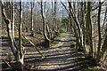
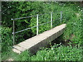
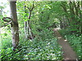
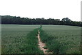
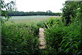
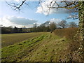
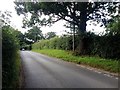
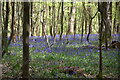
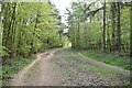
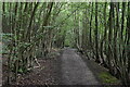
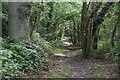
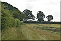
38 photos from this area
Area Information
Key information about the TN11 9RG including its size, population, and administrative classification.
- Area Type
- Postcode
- Area Size
- 40.3 hectares
- Population
- 1621
- Population Density
- 87 people/km²
House Prices in TN11 9RG
8
Properties
£436,250
Average Sold Price
£405,000
Lowest Price
£467,500
Highest Price
Showing 8 properties
| Address | Type | Beds | Baths | Last Sale Price | Last Sale Date | |
|---|---|---|---|---|---|---|
| Brook Cottage, Hamptons Road, Hadlow, Tonbridge, TN11 9RG | Terraced | 3 | 1 | £467,500 | Jan 2025 | |
| The Waterfall, Hamptons Road, Hadlow, Tonbridge, TN11 9RG | Cottage | 3 | 2 | £405,000 | May 2001 | |
| Mill Cottage, Hamptons Road, Hadlow, Tonbridge, TN11 9RG | house | 4 | 1 | - | - | |
| Caravan At, Bourne Valley Fish Farm, Hamptons Road, Hadlow, Tonbridge, TN11 9RG | Terraced | 4 | - | - | - | |
| Longbarn Meadow Campsite, Hamptons Road, Hadlow, Tonbridge, TN11 9RG | Leisure | - | - | - | - | |
| Riverside Nurseries, Hamptons Road, Hadlow, Tonbridge, TN11 9RG | Farm | - | - | - | - | |
| The Trop Company, Office At, Bourne Valley Fish Farm, Hamptons Road, Hadlow, Tonbridge, TN11 9RG | Office | - | - | - | - | |
| Rivers House, Hamptons Road, Hadlow, Tonbridge, TN11 9RG | Detached | - | - | - | - |
Energy Efficiency in TN11 9RG
Amenities
Schools
| Rank | School | Type | Entry gender | Ages |
|---|
Explore more schools in this area
Go to Schools tabDemographics
Household Size
Family (3-5 people)
most common
Accommodation Type
Houses
most common
Tenure
76
majority
Ethnic Group
White
most common
Religion
N/A
most common
Household Composition
N/A
most common
Age
47
median
Adults (30-64 years)
most common
Household Deprivation
N/A
with no deprivation
NS-SEC
51
in Lower managerial occupations
Explore more demographic insights in this area
Go to Demographics tabPlanning
Planning Constraints
- Flood RiskPremium
- Ramsar Wetland SitesPremium
- Area of Outstanding Natural BeautyPremium
- Protected Nature ReservePremium
- Protected WoodlandPremium