Area Overview for TN11 9QU
Photos of TN11 9QU
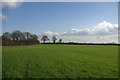
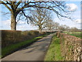
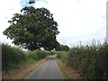
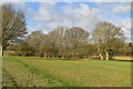
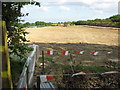
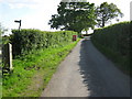
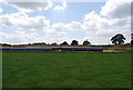
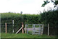
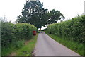
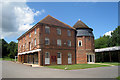

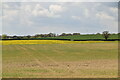
25 photos from this area
Area Information
Key information about the TN11 9QU including its size, population, and administrative classification.
- Area Type
- Postcode
- Area Size
- 1.3 km²
- Population
- 1842
- Population Density
- 148 people/km²
House Prices in TN11 9QU
29
Properties
£492,000
Average Sold Price
£315,000
Lowest Price
£820,000
Highest Price
Showing 29 properties
| Address | Type | Beds | Baths | Last Sale Price | Last Sale Date | |
|---|---|---|---|---|---|---|
| Hildenborough, Ashes Lane, Hadlow, Tonbridge, TN11 9QU | Bungalow | 4 | 2 | £820,000 | Jun 2025 | |
| The Embers, Ashes Lane, Hadlow, Tonbridge, TN11 9QU | Bungalow | 2 | - | £465,000 | Oct 2011 | |
| East Lodge, Ashes Lane, Hadlow, Tonbridge, TN11 9QU | house | 3 | - | £465,000 | Aug 2010 | |
| Birchfield, Ashes Lane, Hadlow, Tonbridge, TN11 9QU | Detached | 4 | 3 | £315,000 | May 2010 | |
| Three Ways, Ashes Lane, Hadlow, Tonbridge, TN11 9QU | house | - | - | £395,000 | Sep 2009 | |
| Cinders Barn, Ashes Lane, Hadlow, Tonbridge, TN11 9QU | Detached | 5 | 3 | - | - | |
| Managers House, Mid Kent Nurseries, Ashes Lane, Hadlow, Tonbridge, TN11 9QU | Farm | - | 1 | - | - | |
| Bob Woolmer Sales Ltd, Barn At, North Frith Farm, Ashes Lane, Hadlow, Tonbridge, TN11 9QU | Office | - | - | - | - | |
| Ditto Creative Ltd, Part First Floor, North Frith Farm Oast, Ashes Lane, Hadlow, Tonbridge, TN11 9QU | Office | - | - | - | - | |
| Ditto Creative Ltd, Ground Floor, North Frith Farm Oast, Ashes Lane, Hadlow, Tonbridge, TN11 9QU | Office | - | - | - | - |
Page 1 of 3
Energy Efficiency in TN11 9QU
Amenities
Schools
| Rank | School | Type | Entry gender | Ages |
|---|
Explore more schools in this area
Go to Schools tabDemographics
Household Size
Two person
most common
Accommodation Type
Houses
most common
Tenure
84
majority
Ethnic Group
White
most common
Religion
N/A
most common
Household Composition
N/A
most common
Age
47
median
Adults (30-64 years)
most common
Household Deprivation
N/A
with no deprivation
NS-SEC
43
in Lower managerial occupations
Explore more demographic insights in this area
Go to Demographics tabPlanning
Planning Constraints
- Flood RiskPremium
- Ramsar Wetland SitesPremium
- Area of Outstanding Natural BeautyPremium
- Protected Nature ReservePremium
- Protected WoodlandPremium