Area Overview for Tandridge
Photos of Tandridge

Area Information
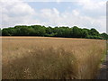
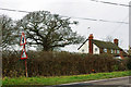
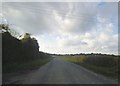
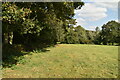
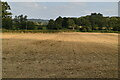
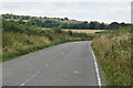
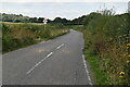
Tandridge is a local authority district in England covering just over 11.0 square kilometres. You will find that this compact area is defined by a specific character that reflects its small geographical footprint. Living in Tandridge means embracing a tight-knit environment where every street holds significant weight within the community. The district operates as a borough unitary, managing its own local affairs while remaining part of the wider English administrative structure. Its size suggests a walkable layout where distances are short, yet the facilities present within these boundaries are carefully curated to meet resident needs. You are stepping into a defined space that prioritises local governance and area-specific services. The limited land area often correlates with a higher density of shared resources compared to vast rural districts. Your daily routine here is shaped by these constraints, creating a daily life that is efficient and accessible. There is no ambiguity about the scale of the place; it is a manageable territory that residents know intimately. When you consider homes in Tandridge, you are choosing a location where the boundaries are clear and the community identity is strong. The area serves as a self-contained unit where local decisions directly impact your immediate surroundings.
- Area Type
- Parish
- Area Size
- 11.0 km²
- Population
- Not available
- Population Density
- Not available
Demographics
The community in Tandridge reflects a very specific age profile with a median age of 70. You will encounter a neighbourhood where a significant portion of the population is in their later years. This demographic shift shapes the social fabric and the types of services that take place locally. The most common age range data indicates a population heavily weighted towards the elderly, creating a distinct rhythm to daily life in this district. Home ownership stands at an impressive 80%, meaning that four out of five residents own their properties outright or with a mortgage. This high level of ownership suggests long-term stability within the housing stock and a deep sense of belonging among neighbours. Household composition and accommodation type data are recorded as totals, indicating that the structure of families here is diverse yet likely skewed towards retirees or downsizers given the age profile. You will not find a transient population; instead, you are looking at a settled community where families have built roots over decades. The predominant ethnic group, religion, and specific deprivation statistics are not explicitly detailed in the current figures, but the overarching trend points towards a stable, owner-occupied society. For you, this means buying into a market driven by those who intend to stay. The quality of life here is defined by this permanence, where changes in demographics happen slowly rather than rapidly.
Household Size
Accommodation Type
Tenure
Ethnic Group
Religion
Household Composition
Age
Household Deprivation
NS-SEC
Explore more demographic insights in this area
Go to Demographics tabPlanning
Planning Constraints
- Flood RiskPremium
- Ramsar Wetland SitesPremium
- Area of Outstanding Natural BeautyPremium
- Protected Nature ReservePremium
- Protected WoodlandPremium