Area Overview for SP6 2PU
Photos of SP6 2PU
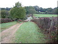
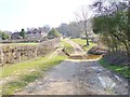
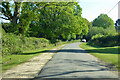
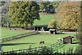
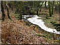
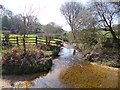
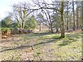
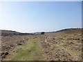
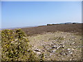
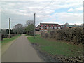
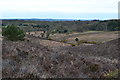
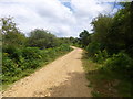
25 photos from this area
Area Information
Key information about the SP6 2PU including its size, population, and administrative classification.
- Area Type
- Postcode
- Area Size
- 44.0 hectares
- Population
- 1168
- Population Density
- 22 people/km²
House Prices in SP6 2PU
7
Properties
£572,500
Average Sold Price
£245,000
Lowest Price
£851,000
Highest Price
Showing 7 properties
| Address | Type | Beds | Baths | Last Sale Price | Last Sale Date | |
|---|---|---|---|---|---|---|
| Latchmore, Road Through Furze Hill, Furze Hill, SP6 2PU | Bungalow | - | - | £851,000 | Jun 2021 | |
| Dorridge Hill, Road Through Furze Hill, Furze Hill, SP6 2PU | Bungalow | 4 | - | £770,000 | Feb 2015 | |
| Hunters Moon, Road Through Furze Hill, Furze Hill, SP6 2PU | Bungalow | - | - | £424,000 | Dec 2005 | |
| Gorse Cottage, Road Through Furze Hill, Furze Hill, SP6 2PU | Detached | - | - | £245,000 | May 1999 | |
| High Chaparral, Road Through Furze Hill, Furze Hill, SP6 2PU | undefined | - | - | - | - | |
| The Lodge, Road Through Furze Hill, Furze Hill, SP6 2PU | undefined | - | - | - | - | |
| Annexe, Dorridge Hill, Road Through Furze Hill, Furze Hill, SP6 2PU | Flat | - | - | - | - |
Energy Efficiency in SP6 2PU
Amenities
Schools
| Rank | School | Type | Entry gender | Ages |
|---|
Explore more schools in this area
Go to Schools tabDemographics
Household Size
Two person
most common
Accommodation Type
Houses
most common
Tenure
81
majority
Ethnic Group
White
most common
Religion
N/A
most common
Household Composition
N/A
most common
Age
47
median
Adults (30-64 years)
most common
Household Deprivation
N/A
with no deprivation
NS-SEC
45
in Lower managerial occupations
Explore more demographic insights in this area
Go to Demographics tabPlanning
Planning Constraints
- Flood RiskPremium
- Ramsar Wetland SitesPremium
- Area of Outstanding Natural BeautyPremium
- Protected Nature ReservePremium
- Protected WoodlandPremium