Area Overview for SP6 2PP
Photos of SP6 2PP
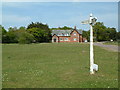
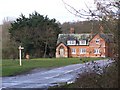
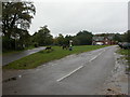
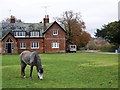
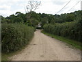
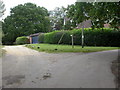
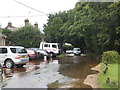
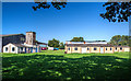
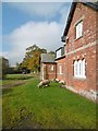
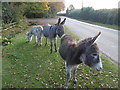
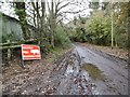
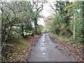
46 photos from this area
Area Information
Key information about the SP6 2PP including its size, population, and administrative classification.
- Area Type
- Postcode
- Area Size
- 25.5 hectares
- Population
- 1168
- Population Density
- 22 people/km²
House Prices in SP6 2PP
18
Properties
£602,929
Average Sold Price
£355,500
Lowest Price
£845,000
Highest Price
Showing 18 properties
| Address | Type | Beds | Baths | Last Sale Price | Last Sale Date | |
|---|---|---|---|---|---|---|
| Primrose Cottage, Cuckoo Hill, South Gorley, SP6 2PP | Cottage | 3 | 3 | £845,000 | Sep 2025 | |
| Gorley Green Cottage, Road From South Gorley To Furze Hill, South Gorley, SP6 2PP | Cottage | 3 | 1 | £705,000 | Apr 2023 | |
| Amberside, Birchlands Farm, Road From South Gorley To Furze Hill, South Gorley, SP6 2PP | Detached | - | - | £500,000 | Sep 2021 | |
| Avon Valley Cottage, Road From South Gorley To Furze Hill, South Gorley, SP6 2PP | house | - | - | £550,000 | Feb 2021 | |
| The Cottage, Road From South Gorley To Furze Hill, South Gorley, SP6 2PP | Cottage | 4 | - | £770,000 | Aug 2016 | |
| Junction Cottage, Road From South Gorley To Furze Hill, South Gorley, SP6 2PP | house | 3 | - | £355,500 | Mar 2008 | |
| Chibdens, Cuckoo Hill, South Gorley, SP6 2PP | Detached | 4 | - | £495,000 | Jul 1999 | |
| The Studio, Cuckoo Hill, South Gorley, SP6 2PP | Bungalow | 3 | 2 | - | - | |
| The Old School House, Road From South Gorley To Furze Hill, South Gorley, SP6 2PP | Semi-detached | 2 | 1 | - | - | |
| Cuckoo Hill Cottage, Cuckoo Hill, South Gorley, SP6 2PP | Cottage | 2 | - | - | - |
Page 1 of 2
Energy Efficiency in SP6 2PP
Amenities
Schools
| Rank | School | Type | Entry gender | Ages |
|---|
Explore more schools in this area
Go to Schools tabDemographics
Household Size
Two person
most common
Accommodation Type
Houses
most common
Tenure
81
majority
Ethnic Group
White
most common
Religion
N/A
most common
Household Composition
N/A
most common
Age
47
median
Adults (30-64 years)
most common
Household Deprivation
N/A
with no deprivation
NS-SEC
45
in Lower managerial occupations
Explore more demographic insights in this area
Go to Demographics tabPlanning
Planning Constraints
- Flood RiskPremium
- Ramsar Wetland SitesPremium
- Area of Outstanding Natural BeautyPremium
- Protected Nature ReservePremium
- Protected WoodlandPremium