Area Overview for SP6 2NW
Photos of SP6 2NW
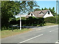
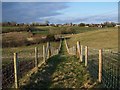
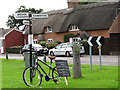
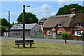
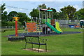
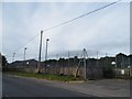
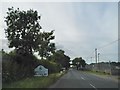
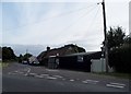
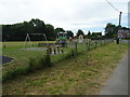
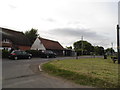

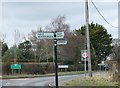
39 photos from this area
Area Information
Key information about the SP6 2NW including its size, population, and administrative classification.
- Area Type
- Postcode
- Area Size
- 9.7 hectares
- Population
- 1337
- Population Density
- 52 people/km²
House Prices in SP6 2NW
32
Properties
£506,045
Average Sold Price
£55,000
Lowest Price
£910,000
Highest Price
Showing 32 properties
| Address | Type | Beds | Baths | Last Sale Price | Last Sale Date | |
|---|---|---|---|---|---|---|
| The Outlook, Hale Road, Hale, SP6 2NW | house | - | - | £910,000 | Feb 2025 | |
| Bracken Dene, Hale Road, Hale, SP6 2NW | house | - | - | £675,000 | Dec 2024 | |
| Tree Tops, Hale Road, Hale, SP6 2NW | Bungalow | 4 | 3 | £797,500 | Jan 2023 | |
| Beechcroft, Hale Road, Hale, SP6 2NW | Bungalow | - | - | £835,000 | Nov 2021 | |
| Redcliffe, Hale Road, Hale, SP6 2NW | house | - | - | £495,000 | Sep 2021 | |
| Gatehouse, Hale Road, Hale, SP6 2NW | Detached | 4 | 3 | £610,000 | Mar 2019 | |
| Delmor, Hale Road, Hale, SP6 2NW | Bungalow | - | - | £565,000 | Aug 2017 | |
| Bramble Mead, Hale Road, Hale, SP6 2NW | Bungalow | - | - | £540,000 | Mar 2017 | |
| Oak House, Hale Road, Hale, SP6 2NW | Detached | 4 | - | £505,000 | Nov 2015 | |
| The Bungalow, Hale Road, Hale, SP6 2NW | Bungalow | 4 | 2 | £495,000 | Sep 2015 |
Page 1 of 4
Energy Efficiency in SP6 2NW
Amenities
Schools
| Rank | School | Type | Entry gender | Ages |
|---|
Explore more schools in this area
Go to Schools tabDemographics
Household Size
Two person
most common
Accommodation Type
Houses
most common
Tenure
70
majority
Ethnic Group
White
most common
Religion
N/A
most common
Household Composition
N/A
most common
Age
47
median
Adults (30-64 years)
most common
Household Deprivation
N/A
with no deprivation
NS-SEC
44
in Lower managerial occupations
Explore more demographic insights in this area
Go to Demographics tabPlanning
Planning Constraints
- Flood RiskPremium
- Ramsar Wetland SitesPremium
- Area of Outstanding Natural BeautyPremium
- Protected Nature ReservePremium
- Protected WoodlandPremium