Area Overview for SP6 2HW
Photos of SP6 2HW
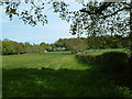
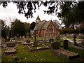
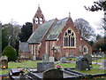
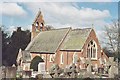
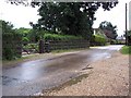
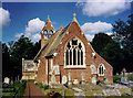
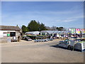
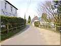
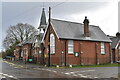
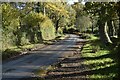
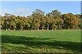
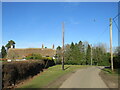
51 photos from this area
Area Information
Key information about the SP6 2HW including its size, population, and administrative classification.
- Area Type
- Postcode
- Area Size
- 16.4 hectares
- Population
- 1305
- Population Density
- 38 people/km²
House Prices in SP6 2HW
24
Properties
£680,844
Average Sold Price
£420,000
Lowest Price
£1,500,000
Highest Price
Showing 24 properties
| Address | Type | Beds | Baths | Last Sale Price | Last Sale Date | |
|---|---|---|---|---|---|---|
| Anvil Cottage, Frogham Hill, Frogham, SP6 2HW | Detached | 3 | 1 | £675,000 | May 2025 | |
| Threeways, Frogham Hill, Frogham, SP6 2HW | Bungalow | 2 | 2 | £420,000 | May 2024 | |
| Belle Vue Farm, Frogham Hill, Frogham, SP6 2HW | house | - | - | £1,500,000 | Jul 2022 | |
| The Bartletts, Frogham Hill, Frogham, SP6 2HW | house | - | - | £995,000 | Jan 2021 | |
| Crossways, Frogham Hill, Frogham, SP6 2HW | Bungalow | - | - | £575,000 | Dec 2019 | |
| Broomhill House, Frogham Hill, Frogham, SP6 2HW | Detached | 4 | 2 | £875,000 | Jul 2018 | |
| Rosemary Cottage, Frogham Hill, Frogham, SP6 2HW | Detached | 3 | 4 | £670,000 | Feb 2018 | |
| Yewtree Cottage, Frogham Hill, Frogham, SP6 2HW | house | 3 | - | £535,000 | Sep 2016 | |
| The Beeches, Frogham Hill, Frogham, SP6 2HW | Detached | 4 | - | £910,000 | May 2016 | |
| Robins Nest, Frogham Hill, Frogham, SP6 2HW | Detached | 3 | - | £470,000 | Aug 2012 |
Page 1 of 3
Energy Efficiency in SP6 2HW
Amenities
Schools
| Rank | School | Type | Entry gender | Ages |
|---|
Explore more schools in this area
Go to Schools tabDemographics
Household Size
Two person
most common
Accommodation Type
Houses
most common
Tenure
89
majority
Ethnic Group
White
most common
Religion
N/A
most common
Household Composition
N/A
most common
Age
47
median
Adults (30-64 years)
most common
Household Deprivation
N/A
with no deprivation
NS-SEC
44
in Lower managerial occupations
Explore more demographic insights in this area
Go to Demographics tabPlanning
Planning Constraints
- Flood RiskPremium
- Ramsar Wetland SitesPremium
- Area of Outstanding Natural BeautyPremium
- Protected Nature ReservePremium
- Protected WoodlandPremium