Area Overview for SP6 2HT
Photos of SP6 2HT
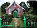
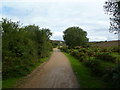
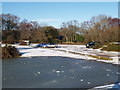
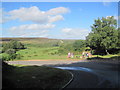

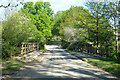
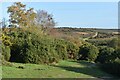

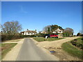
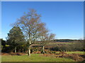
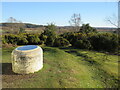
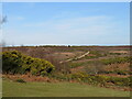
54 photos from this area
Area Information
Key information about the SP6 2HT including its size, population, and administrative classification.
- Area Type
- Postcode
- Area Size
- 11.4 hectares
- Population
- 1305
- Population Density
- 38 people/km²
House Prices in SP6 2HT
12
Properties
£934,150
Average Sold Price
£485,000
Lowest Price
£1,395,000
Highest Price
Showing 12 properties
| Address | Type | Beds | Baths | Last Sale Price | Last Sale Date | |
|---|---|---|---|---|---|---|
| Wind Song, Abbotswell Road, Frogham, SP6 2HT | Detached | 4 | 2 | £1,054,000 | May 2024 | |
| The Whistlers, Abbotswell Road, Frogham, SP6 2HT | Semi-detached | 4 | 3 | £962,500 | Feb 2024 | |
| Homestal, Abbotswell Road, Frogham, SP6 2HT | Detached | 3 | 2 | £850,000 | Oct 2023 | |
| Forest Edge, Road From Frogham Cross To Hyde, Frogham, SP6 2HT | Detached | 4 | 3 | £1,100,000 | Jul 2023 | |
| Bishops Cottage, Road From Frogham Cross To Hyde, Frogham, SP6 2HT | house | - | - | £1,395,000 | Feb 2022 | |
| Lavender Cottage, Road From Frogham Cross To Hyde, Frogham, SP6 2HT | house | - | - | £655,000 | Mar 2021 | |
| Vale View, Abbotswell Road, Frogham, SP6 2HT | Retail | 6 | 4 | £1,095,000 | Oct 2019 | |
| Arran, Road From Frogham Cross To Hyde, Frogham, SP6 2HT | house | - | - | £920,000 | Aug 2016 | |
| Peters House, Road From Frogham Cross To Hyde, Frogham, SP6 2HT | house | 4 | - | £825,000 | Sep 2012 | |
| Seagry Lawn, Road From Frogham Cross To Hyde, Frogham, SP6 2HT | Detached | - | - | £485,000 | Mar 2001 |
Page 1 of 2
Energy Efficiency in SP6 2HT
Amenities
Schools
| Rank | School | Type | Entry gender | Ages |
|---|
Explore more schools in this area
Go to Schools tabDemographics
Household Size
Two person
most common
Accommodation Type
Houses
most common
Tenure
89
majority
Ethnic Group
White
most common
Religion
N/A
most common
Household Composition
N/A
most common
Age
47
median
Adults (30-64 years)
most common
Household Deprivation
N/A
with no deprivation
NS-SEC
44
in Lower managerial occupations
Explore more demographic insights in this area
Go to Demographics tabPlanning
Planning Constraints
- Flood RiskPremium
- Ramsar Wetland SitesPremium
- Area of Outstanding Natural BeautyPremium
- Protected Nature ReservePremium
- Protected WoodlandPremium