Area Overview for SP5 1QD
Photos of SP5 1QD
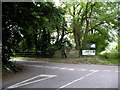
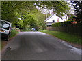
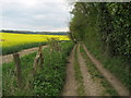
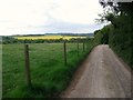
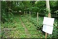
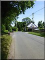
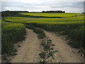
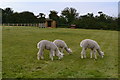
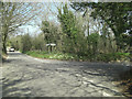
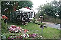
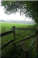
13 photos from this area
Area Information
Key information about the SP5 1QD including its size, population, and administrative classification.
- Area Type
- Postcode
- Area Size
- 30.7 hectares
- Population
- 1556
- Population Density
- 37 people/km²
House Prices in SP5 1QD
12
Properties
£550,000
Average Sold Price
£225,000
Lowest Price
£800,000
Highest Price
Showing 12 properties
| Address | Type | Beds | Baths | Last Sale Price | Last Sale Date | |
|---|---|---|---|---|---|---|
| Douai House, Easton Common Hill, Middle Winterslow, SP5 1QD | house | 3 | 2 | £710,000 | Feb 2025 | |
| Triple Yews, Easton Common Hill, Middle Winterslow, SP5 1QD | Bungalow | 1 | 1 | £250,000 | Jul 2019 | |
| Hedgemoor House, Easton Common Hill, Middle Winterslow, SP5 1QD | house | - | - | £800,000 | Sep 2012 | |
| Mancett House, Easton Common Hill, Middle Winterslow, SP5 1QD | Detached | - | - | £765,000 | Nov 2007 | |
| Woodlands, Easton Common Hill, Middle Winterslow, SP5 1QD | Detached | 3 | - | £225,000 | Apr 2006 | |
| Owls Castle Farmhouse, Easton Common Hill, Middle Winterslow, SP5 1QD | Detached | 4 | 3 | - | - | |
| Owls Castle, Easton Common Hill, Middle Winterslow, SP5 1QD | Detached | - | - | - | - | |
| Annexe, Vyne Lodge, Easton Common Hill, Middle Winterslow, SP5 1QD | Flat | - | - | - | - | |
| Beech Lodge, Easton Common Hill, Middle Winterslow, SP5 1QD | Detached | - | - | - | - | |
| Smugglers Top, Easton Common Hill, Middle Winterslow, SP5 1QD | Detached | - | - | - | - |
Page 1 of 2
Energy Efficiency in SP5 1QD
Amenities
Schools
| Rank | School | Type | Entry gender | Ages |
|---|
Explore more schools in this area
Go to Schools tabDemographics
Household Size
Two person
most common
Accommodation Type
Houses
most common
Tenure
69
majority
Ethnic Group
White
most common
Religion
N/A
most common
Household Composition
N/A
most common
Age
47
median
Adults (30-64 years)
most common
Household Deprivation
N/A
with no deprivation
NS-SEC
44
in Lower managerial occupations
Explore more demographic insights in this area
Go to Demographics tabPlanning
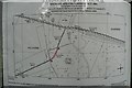
Planning Constraints
- Flood RiskPremium
- Ramsar Wetland SitesPremium
- Area of Outstanding Natural BeautyPremium
- Protected Nature ReservePremium
- Protected WoodlandPremium