Area Overview for SP11 8QA
Photos of SP11 8QA
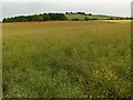
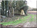
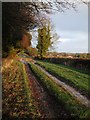
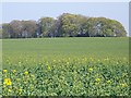
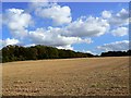
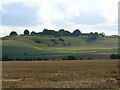
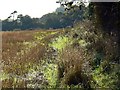
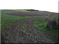
9 photos from this area
Area Information
Key information about the SP11 8QA including its size, population, and administrative classification.
- Area Type
- Postcode
- Area Size
- 20.3 hectares
- Population
- 2339
- Population Density
- 69 people/km²
House Prices in SP11 8QA
25
Properties
£249,277
Average Sold Price
£38,100
Lowest Price
£535,000
Highest Price
Showing 25 properties
| Address | Type | Beds | Baths | Last Sale Price | Last Sale Date | |
|---|---|---|---|---|---|---|
| 5 Etwall, Quarley, SP11 8QA | Semi-detached | 4 | 2 | £535,000 | Sep 2024 | |
| 22 Etwall, Quarley, SP11 8QA | house | 3 | 1 | £305,000 | Sep 2024 | |
| 20 Etwall, Quarley, SP11 8QA | Terraced | 3 | 1 | £285,000 | Apr 2023 | |
| 11 Etwall, Quarley, SP11 8QA | Semi-detached | 3 | 1 | £310,000 | Jun 2020 | |
| 19 Etwall, Quarley, SP11 8QA | Terraced | 3 | 1 | £235,000 | Oct 2018 | |
| 18 Etwall, Quarley, SP11 8QA | Terraced | 3 | 1 | £237,000 | Aug 2016 | |
| Church View, 6 Etwall, Quarley, SP11 8QA | Semi-detached | 5 | 5 | £393,000 | Sep 2014 | |
| 4 Etwall, Quarley, SP11 8QA | house | - | - | £246,000 | Oct 2013 | |
| 1 Etwall, Quarley, SP11 8QA | Semi-detached | 3 | - | £234,000 | Sep 2010 | |
| 12 Etwall, Quarley, SP11 8QA | house | - | - | £245,000 | Oct 2009 |
Page 1 of 3
Energy Efficiency in SP11 8QA
Amenities
Schools
| Rank | School | Type | Entry gender | Ages |
|---|
Explore more schools in this area
Go to Schools tabDemographics
Household Size
Two person
most common
Accommodation Type
Houses
most common
Tenure
75
majority
Ethnic Group
White
most common
Religion
N/A
most common
Household Composition
N/A
most common
Age
47
median
Adults (30-64 years)
most common
Household Deprivation
N/A
with no deprivation
NS-SEC
41
in Lower managerial occupations
Explore more demographic insights in this area
Go to Demographics tabPlanning
Planning Constraints
- Flood RiskPremium
- Ramsar Wetland SitesPremium
- Area of Outstanding Natural BeautyPremium
- Protected Nature ReservePremium
- Protected WoodlandPremium