Area Overview for SP11 8LG
Photos of SP11 8LG
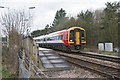
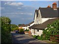
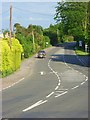
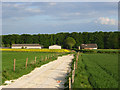
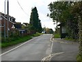
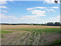
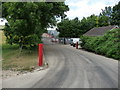
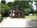
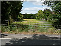
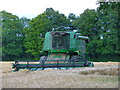

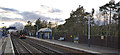
35 photos from this area
Area Information
Key information about the SP11 8LG including its size, population, and administrative classification.
- Area Type
- Postcode
- Area Size
- 67.9 hectares
- Population
- 2339
- Population Density
- 69 people/km²
House Prices in SP11 8LG
20
Properties
£506,031
Average Sold Price
£85,500
Lowest Price
£2,804,997
Highest Price
Showing 20 properties
| Address | Type | Beds | Baths | Last Sale Price | Last Sale Date | |
|---|---|---|---|---|---|---|
| Porkies, Station Road, Grateley, SP11 8LG | Detached | 3 | 2 | £420,000 | Oct 2025 | |
| Broadleys, Station Road, Grateley, SP11 8LG | Bungalow | 4 | 1 | £535,000 | Aug 2021 | |
| Green Meadows, Station Road, Grateley, SP11 8LG | house | - | - | £2,804,997 | Jun 2020 | |
| 4 Station Road, Grateley, SP11 8LG | Semi-detached | 4 | 2 | £365,000 | Mar 2020 | |
| 6 Station Road, Grateley, SP11 8LG | Semi-detached | 4 | 2 | £370,000 | Jul 2018 | |
| 2 Station Road, Grateley, SP11 8LG | Semi-detached | 4 | 2 | £332,500 | Jul 2017 | |
| Heathercroft, Station Road, Grateley, SP11 8LG | Bungalow | 5 | - | £610,000 | Dec 2016 | |
| 3 Station Road, Grateley, SP11 8LG | house | - | - | £285,000 | Oct 2015 | |
| Adamghar, Station Road, Grateley, SP11 8LG | Detached | 3 | 1 | £340,000 | Mar 2015 | |
| Kevington, Station Road, Grateley, SP11 8LG | Detached | 3 | 1 | £330,000 | Dec 2014 |
Page 1 of 2
Energy Efficiency in SP11 8LG
Amenities
Schools
| Rank | School | Type | Entry gender | Ages |
|---|
Explore more schools in this area
Go to Schools tabDemographics
Household Size
Two person
most common
Accommodation Type
Houses
most common
Tenure
75
majority
Ethnic Group
White
most common
Religion
N/A
most common
Household Composition
N/A
most common
Age
47
median
Adults (30-64 years)
most common
Household Deprivation
N/A
with no deprivation
NS-SEC
41
in Lower managerial occupations
Explore more demographic insights in this area
Go to Demographics tabPlanning
Planning Constraints
- Flood RiskPremium
- Ramsar Wetland SitesPremium
- Area of Outstanding Natural BeautyPremium
- Protected Nature ReservePremium
- Protected WoodlandPremium