Area Overview for SP11 7HL
Photos of SP11 7HL
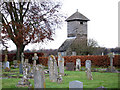
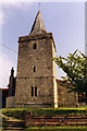
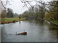
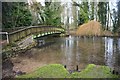

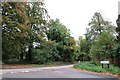
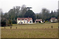
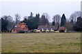
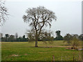
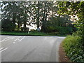
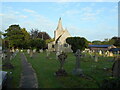
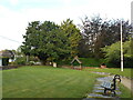
38 photos from this area
Area Information
Key information about the SP11 7HL including its size, population, and administrative classification.
- Area Type
- Postcode
- Area Size
- 36.4 hectares
- Population
- 1509
- Population Density
- 77 people/km²
House Prices in SP11 7HL
55
Properties
£662,264
Average Sold Price
£7,000
Lowest Price
£1,225,000
Highest Price
Showing 55 properties
| Address | Type | Beds | Baths | Last Sale Price | Last Sale Date | |
|---|---|---|---|---|---|---|
| Orchard House, Church Lane, Goodworth Clatford, SP11 7HL | Detached | 5 | 3 | £1,225,000 | Oct 2025 | |
| Old Barn Grange, Church Lane, Goodworth Clatford, SP11 7HL | Detached | 5 | 3 | £873,000 | Mar 2025 | |
| Posthouse, Church Lane, Goodworth Clatford, SP11 7HL | Bungalow | - | - | £875,000 | Jul 2024 | |
| Damhsa, Church Lane, Goodworth Clatford, SP11 7HL | Detached | 5 | 3 | £1,220,000 | Jan 2023 | |
| Mandalay, Church Lane, Goodworth Clatford, SP11 7HL | house | - | - | £1,075,000 | Jan 2023 | |
| Little Orchard, Church Lane, Goodworth Clatford, SP11 7HL | Bungalow | 3 | 2 | £991,414 | Oct 2022 | |
| The Warren, Church Lane, Goodworth Clatford, SP11 7HL | house | - | - | £838,000 | Mar 2021 | |
| Little Copse, Church Lane, Goodworth Clatford, SP11 7HL | Bungalow | - | - | £750,000 | Mar 2021 | |
| Rookwood, Church Lane, Goodworth Clatford, SP11 7HL | house | - | - | £840,000 | Jan 2021 | |
| Rushmoor Cottage, Church Lane, Goodworth Clatford, SP11 7HL | Detached | 4 | 2 | £815,000 | Jun 2019 |
Page 1 of 6
Energy Efficiency in SP11 7HL
Amenities
Schools
| Rank | School | Type | Entry gender | Ages |
|---|
Explore more schools in this area
Go to Schools tabDemographics
Household Size
Two person
most common
Accommodation Type
Houses
most common
Tenure
84
majority
Ethnic Group
White
most common
Religion
N/A
most common
Household Composition
N/A
most common
Age
47
median
Adults (30-64 years)
most common
Household Deprivation
N/A
with no deprivation
NS-SEC
52
in Lower managerial occupations
Explore more demographic insights in this area
Go to Demographics tabPlanning
Planning Constraints
- Flood RiskPremium
- Ramsar Wetland SitesPremium
- Area of Outstanding Natural BeautyPremium
- Protected Nature ReservePremium
- Protected WoodlandPremium