Area Overview for SP11 7EW
Photos of SP11 7EW
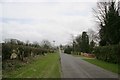
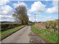
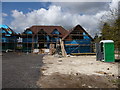
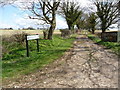
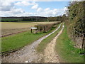
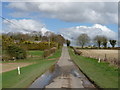
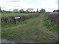
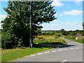
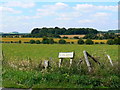
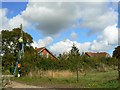
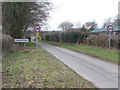
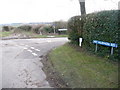
36 photos from this area
Area Information
Key information about the SP11 7EW including its size, population, and administrative classification.
- Area Type
- Postcode
- Area Size
- 18.6 hectares
- Population
- 2065
- Population Density
- 109 people/km²
House Prices in SP11 7EW
29
Properties
£657,133
Average Sold Price
£220,000
Lowest Price
£1,400,000
Highest Price
Showing 29 properties
| Address | Type | Beds | Baths | Last Sale Price | Last Sale Date | |
|---|---|---|---|---|---|---|
| Milvus, Mount Hermon Road, Palestine, SP11 7EW | Detached | 5 | 4 | £1,400,000 | Jun 2024 | |
| The Orchard, Mount Hermon Road, Palestine, SP11 7EW | Detached | 4 | 2 | £810,000 | Dec 2023 | |
| High View, Mount Hermon Road, Palestine, SP11 7EW | Detached | 5 | 3 | £827,000 | Nov 2020 | |
| Longacre House, Mount Hermon Road, Palestine, SP11 7EW | house | - | - | £895,000 | Oct 2016 | |
| Bramble Bank, Mount Hermon Road, Palestine, SP11 7EW | house | - | - | £660,000 | Aug 2015 | |
| Charnwood House, Mount Hermon Road, Palestine, SP11 7EW | Detached | 4 | - | £850,000 | Dec 2014 | |
| Cavilla, Mount Hermon Road, Palestine, SP11 7EW | Bungalow | 3 | 1 | £325,000 | Dec 2014 | |
| Noss Mayo, Mount Hermon Road, Palestine, SP11 7EW | house | - | - | £565,000 | Aug 2014 | |
| Hill View House, Mount Hermon Road, Palestine, SP11 7EW | Detached | - | - | £665,000 | Aug 2013 | |
| The Limes, Mount Hermon Road, Palestine, SP11 7EW | house | 4 | - | £530,000 | Jan 2012 |
Page 1 of 3
Energy Efficiency in SP11 7EW
Amenities
Schools
| Rank | School | Type | Entry gender | Ages |
|---|
Explore more schools in this area
Go to Schools tabDemographics
Household Size
Two person
most common
Accommodation Type
Houses
most common
Tenure
54
majority
Ethnic Group
White
most common
Religion
N/A
most common
Household Composition
N/A
most common
Age
47
median
Adults (30-64 years)
most common
Household Deprivation
N/A
with no deprivation
NS-SEC
49
in Lower managerial occupations
Explore more demographic insights in this area
Go to Demographics tabPlanning
Planning Constraints
- Flood RiskPremium
- Ramsar Wetland SitesPremium
- Area of Outstanding Natural BeautyPremium
- Protected Nature ReservePremium
- Protected WoodlandPremium