Area Overview for SP11 7EA
Photos of SP11 7EA
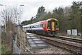
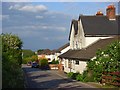
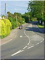
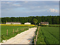
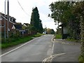
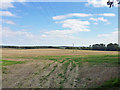
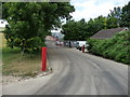
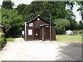
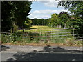
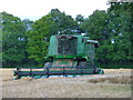

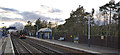
35 photos from this area
Area Information
Key information about the SP11 7EA including its size, population, and administrative classification.
- Area Type
- Postcode
- Area Size
- 1.1 hectares
- Population
- 2339
- Population Density
- 69 people/km²
House Prices in SP11 7EA
26
Properties
£92,313
Average Sold Price
£40,000
Lowest Price
£180,000
Highest Price
Showing 26 properties
| Address | Type | Beds | Baths | Last Sale Price | Last Sale Date | |
|---|---|---|---|---|---|---|
| 21 Locke Close, Grateley, SP11 7EA | Semi-detached | 3 | 1 | £180,000 | Dec 2022 | |
| 5 Locke Close, Grateley, SP11 7EA | house | 3 | - | £145,700 | Mar 2015 | |
| 2 Locke Close, Grateley, SP11 7EA | Semi-detached | 3 | - | £100,750 | Oct 2014 | |
| 1 Locke Close, Grateley, SP11 7EA | Semi-detached | 2 | - | £105,400 | May 2010 | |
| 19 Locke Close, Grateley, SP11 7EA | Semi-detached | - | - | £129,000 | Aug 2007 | |
| 27 Locke Close, Grateley, SP11 7EA | Semi-detached | - | - | £105,400 | Jul 2006 | |
| 8 Locke Close, Grateley, SP11 7EA | Semi-detached | - | - | £75,000 | Nov 2001 | |
| 18 Locke Close, Grateley, SP11 7EA | Terraced | - | - | £77,400 | Sep 2001 | |
| 6 Locke Close, Grateley, SP11 7EA | Semi-detached | - | - | £52,200 | May 2000 | |
| 14 Locke Close, Grateley, SP11 7EA | Semi-detached | - | - | £50,400 | Aug 1999 |
Page 1 of 3
Energy Efficiency in SP11 7EA
Amenities
Schools
| Rank | School | Type | Entry gender | Ages |
|---|
Explore more schools in this area
Go to Schools tabDemographics
Household Size
Two person
most common
Accommodation Type
Houses
most common
Tenure
75
majority
Ethnic Group
White
most common
Religion
N/A
most common
Household Composition
N/A
most common
Age
47
median
Adults (30-64 years)
most common
Household Deprivation
N/A
with no deprivation
NS-SEC
41
in Lower managerial occupations
Explore more demographic insights in this area
Go to Demographics tabPlanning
Planning Constraints
- Flood RiskPremium
- Ramsar Wetland SitesPremium
- Area of Outstanding Natural BeautyPremium
- Protected Nature ReservePremium
- Protected WoodlandPremium