Area Overview for SP11 6XZ
Photos of SP11 6XZ
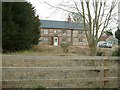
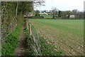
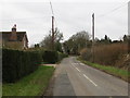
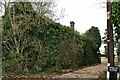
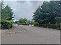
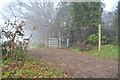

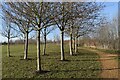
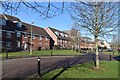
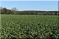
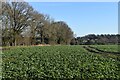
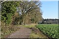
15 photos from this area
Area Information
Key information about the SP11 6XZ including its size, population, and administrative classification.
- Area Type
- Postcode
- Area Size
- 2.9 hectares
- Population
- 1420
- Population Density
- 187 people/km²
House Prices in SP11 6XZ
43
Properties
£259,648
Average Sold Price
£125,000
Lowest Price
£385,000
Highest Price
Showing 43 properties
| Address | Type | Beds | Baths | Last Sale Price | Last Sale Date | |
|---|---|---|---|---|---|---|
| 37 Lee Valley Close, Andover, SP11 6XZ | Semi-detached | 3 | 2 | £345,000 | Aug 2025 | |
| 39 Lee Valley Close, Andover, SP11 6XZ | Semi-detached | 3 | 2 | £338,000 | Nov 2024 | |
| 33 Lee Valley Close, Andover, SP11 6XZ | Semi-detached | 3 | 2 | £322,500 | Jul 2024 | |
| 43 Lee Valley Close, Andover, SP11 6XZ | Semi-detached | 3 | 2 | £360,000 | May 2024 | |
| 8 Lee Valley Close, Andover, SP11 6XZ | Semi-detached | 3 | 2 | £341,000 | Feb 2024 | |
| 10 Lee Valley Close, Andover, SP11 6XZ | Semi-detached | 3 | 2 | £355,000 | Feb 2024 | |
| 41 Lee Valley Close, Andover, SP11 6XZ | Detached | 3 | 2 | £375,000 | Jan 2023 | |
| 9 Lee Valley Close, Andover, SP11 6XZ | Flat | 1 | 1 | £130,000 | Jan 2023 | |
| 45 Lee Valley Close, Andover, SP11 6XZ | Semi-detached | 3 | 2 | £385,000 | Dec 2022 | |
| 21 Lee Valley Close, Andover, SP11 6XZ | Flat | 2 | 1 | £162,000 | Dec 2022 |
Page 1 of 5
Energy Efficiency in SP11 6XZ
Amenities
Schools
| Rank | School | Type | Entry gender | Ages |
|---|
Explore more schools in this area
Go to Schools tabDemographics
Household Size
Family (3-5 people)
most common
Accommodation Type
Houses
most common
Tenure
79
majority
Ethnic Group
White
most common
Religion
N/A
most common
Household Composition
N/A
most common
Age
47
median
Adults (30-64 years)
most common
Household Deprivation
N/A
with no deprivation
NS-SEC
42
in Lower managerial occupations
Explore more demographic insights in this area
Go to Demographics tabPlanning
Planning Constraints
- Flood RiskPremium
- Ramsar Wetland SitesPremium
- Area of Outstanding Natural BeautyPremium
- Protected Nature ReservePremium
- Protected WoodlandPremium