Area Overview for SP11 6RY
Photos of SP11 6RY
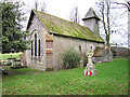
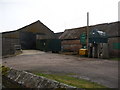
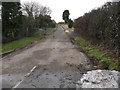
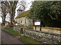
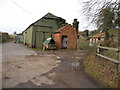
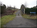
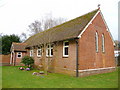
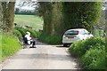
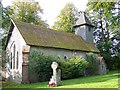
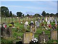
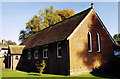
36 photos from this area
Area Information
Key information about the SP11 6RY including its size, population, and administrative classification.
- Area Type
- Postcode
- Area Size
- 3.3 hectares
- Population
- 1417
- Population Density
- 390 people/km²
House Prices in SP11 6RY
41
Properties
£314,111
Average Sold Price
£213,500
Lowest Price
£500,000
Highest Price
Showing 41 properties
| Address | Type | Beds | Baths | Last Sale Price | Last Sale Date | |
|---|---|---|---|---|---|---|
| 90 Olympic Park Road, Andover, SP11 6RY | Semi-detached | 3 | 2 | £348,000 | Mar 2025 | |
| 94 Olympic Park Road, Andover, SP11 6RY | Semi-detached | 2 | 1 | £270,000 | Feb 2024 | |
| 75 Olympic Park Road, Andover, SP11 6RY | Semi-detached | 3 | 2 | £325,500 | Oct 2023 | |
| 76 Olympic Park Road, Andover, SP11 6RY | Detached | 4 | 3 | £500,000 | Mar 2023 | |
| 121 Olympic Park Road, Andover, SP11 6RY | Semi-detached | 3 | - | £338,000 | Jun 2022 | |
| 125 Olympic Park Road, Andover, SP11 6RY | Retail | 3 | 2 | £370,500 | May 2022 | |
| 123 Olympic Park Road, Andover, SP11 6RY | Semi-detached | 3 | 2 | £260,000 | Dec 2019 | |
| 81 Olympic Park Road, Andover, SP11 6RY | Semi-detached | 3 | 2 | £247,500 | Oct 2018 | |
| 100 Olympic Park Road, Andover, SP11 6RY | Detached | 3 | 2 | £297,500 | Sep 2018 | |
| 73 Olympic Park Road, Andover, SP11 6RY | house | - | - | £470,000 | Jun 2017 |
Page 1 of 5
Energy Efficiency in SP11 6RY
Amenities
Schools
| Rank | School | Type | Entry gender | Ages |
|---|
Explore more schools in this area
Go to Schools tabDemographics
Household Size
Two person
most common
Accommodation Type
Houses
most common
Tenure
54
majority
Ethnic Group
White
most common
Religion
N/A
most common
Household Composition
N/A
most common
Age
47
median
Adults (30-64 years)
most common
Household Deprivation
N/A
with no deprivation
NS-SEC
33
in Lower managerial occupations
Explore more demographic insights in this area
Go to Demographics tabPlanning
Planning Constraints
- Flood RiskPremium
- Ramsar Wetland SitesPremium
- Area of Outstanding Natural BeautyPremium
- Protected Nature ReservePremium
- Protected WoodlandPremium